


15,6 km | 27 km-effort
Allons: Descubra las mejores excursiones: 10 a pie y 1 en bici o bici de montaña. Todos estos circuitos, recorridos, itinerarios y actividades al aire libre están disponibles en nuestras aplicaciones SityTrail para smartphone y tablet.
Senderismo


Senderismo
Senderismo
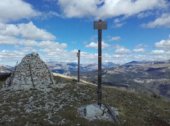
• montée en zigzag très bien faite, donc possible d'y maintenir un bon rythme, vue panoramique de tlut côté une fois ar...
Senderismo
Senderismo

Senderismo
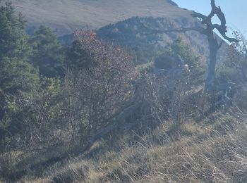
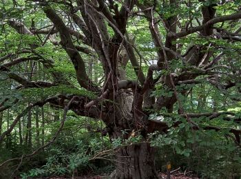
• montée dans une magnifique hêtraie, puis long passage sur la crête jusqu'au pic, avec tout du long un superbe panoram...
Senderismo
• montée dans une magnifique hêtraie, puis long passage sur la crête jusqu'au pic, avec tout du long un superbe panoram...
Carrera

A pie

Bici de montaña

Senderismo
11 excursiones mostradas en 11
Aplicación GPS de excursión GRATIS
 SityTrail
IGN / Institutos geográficos
SityTrail World
El mundo es suyo