


938 m | 1,3 km-effort
Escragnolles: Descubra las mejores excursiones: 51 a pie y 2 en bici o bici de montaña. Todos estos circuitos, recorridos, itinerarios y actividades al aire libre están disponibles en nuestras aplicaciones SityTrail para smartphone y tablet.
Senderismo


Senderismo
A pie
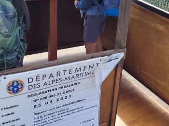
• Trail created by Département des Alpes-Maritimes.
Senderismo

 9.77
9.77
sport

A pie
Senderismo
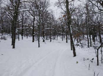
Esquí de fondo
Senderismo

Senderismo

Senderismo
Senderismo

Senderismo

Senderismo
A pie

Senderismo
Senderismo
11.481
sport
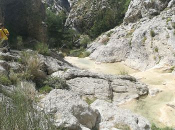
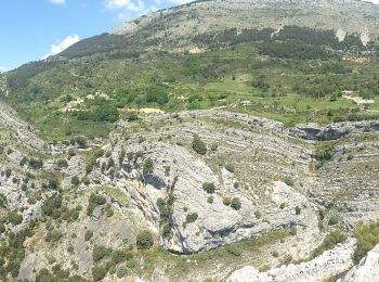
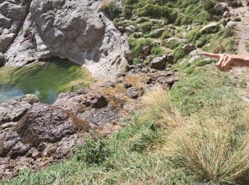
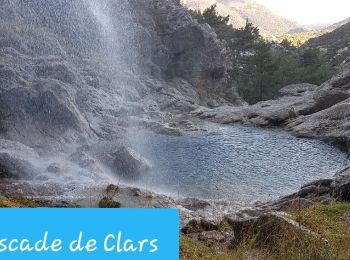
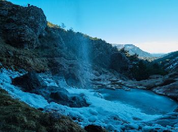
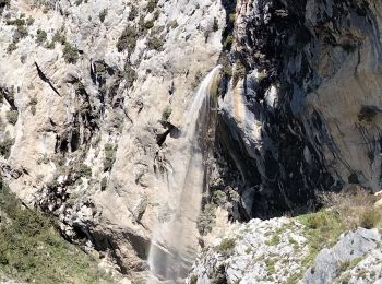
• Randonnée dans l'arrière pays grassois au départ du hameau des Galants (Escragnolles). Rando en boucle de 12,5 km ave...
Senderismo
Senderismo
20 excursiones mostradas en 59
Aplicación GPS de excursión GRATIS
 SityTrail
IGN / Institutos geográficos
SityTrail World
El mundo es suyo