


8,9 km | 14,7 km-effort
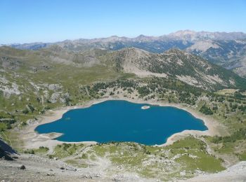
Entraunes: Descubra las mejores excursiones: 80 a pie. Todos estos circuitos, recorridos, itinerarios y actividades al aire libre están disponibles en nuestras aplicaciones SityTrail para smartphone y tablet.
A pie


• Randonnée pédestre - Haut pays : Au départ du col de la Cayolle (2 326 mètres) Sitio web: https://randoxygene.depart...
A pie
• Randonnée pédestre - Haut pays : Au départ d’Estenc (1 780 mètres) Sitio web: https://randoxygene.departement06.fr/h...
A pie
• Randonnée pédestre - Haut pays : Au départ d’Estenc (1 780 mètres) Sitio web: https://randoxygene.departement06.fr/h...
Senderismo
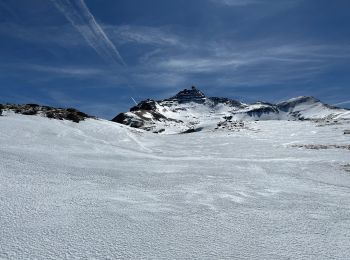
Raquetas de nieve
Senderismo
Senderismo
Senderismo
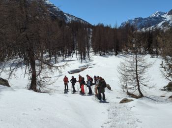
Raquetas de nieve
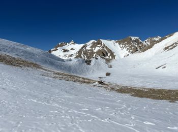
Raquetas de nieve
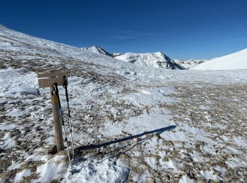
Raquetas de nieve
Raquetas de nieve
Senderismo
Raquetas de nieve
Senderismo
Senderismo
Raquetas de nieve
Raquetas de nieve
Raquetas de nieve
Raquetas de nieve
20 excursiones mostradas en 103
Aplicación GPS de excursión GRATIS
 SityTrail
IGN / Institutos geográficos
SityTrail World
El mundo es suyo