


28 km | 35 km-effort
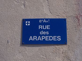
8e Arrondissement: Descubra las mejores excursiones: 364 a pie y 15 en bici o bici de montaña. Todos estos circuitos, recorridos, itinerarios y actividades al aire libre están disponibles en nuestras aplicaciones SityTrail para smartphone y tablet.
Bici de montaña


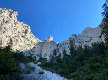
Senderismo
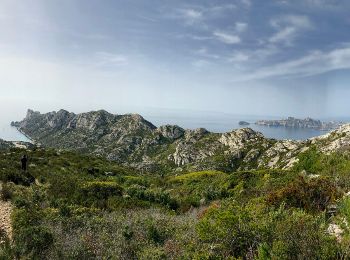
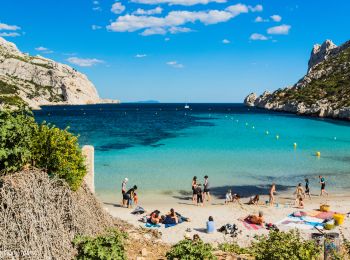
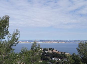
A pie
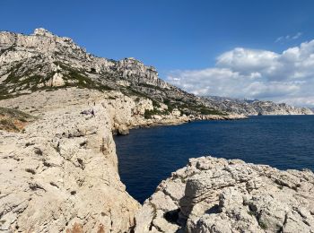
• Trail created by CG13. Point de départ vu dans le Malvallon (à la jonction avec la verte descendant du Pas de la Sel...
A pie
• Trail created by CG13. Début de l'itinéraire vu au début de la piste entre la Madrague et Saména Symbol: Black bar
A pie
• Trail created by CG13. Cocarde de début/fin d'itinéraire vues au début du Chemin de la Batterie et au début du Bd Lo...
A pie
• Trail created by CG13. Début de l'itinéraire vu au début de la piste entre la Madrague et Saména. Fin de l'itinérair...
A pie
• Trail created by CG13. Début de l'itinéraire vu au début de la piste entre la Madrague et Saména. Fin de l'itinérair...
A pie
• Trail created by CG13. Symbol: Yellow bar
A pie
• Trail created by CG13. Fin de l'itinéraire vu sur le parking, au-dessus des Baumettes. Symbol: Black bar
Senderismo
Senderismo

Senderismo
Senderismo

Carrera
Senderismo
Senderismo
Senderismo
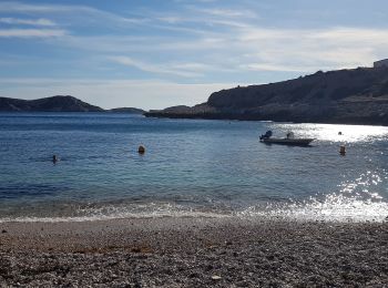
Senderismo
Senderismo
Senderismo
20 excursiones mostradas en 406
Aplicación GPS de excursión GRATIS
 SityTrail
IGN / Institutos geográficos
SityTrail World
El mundo es suyo