


30 km | 40 km-effort
Cogolin: Descubra las mejores excursiones: 25 a pie y 35 en bici o bici de montaña. Todos estos circuitos, recorridos, itinerarios y actividades al aire libre están disponibles en nuestras aplicaciones SityTrail para smartphone y tablet.
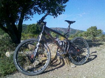
Bici de montaña


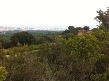
Senderismo
• Randonnée en forme de \"huit\" pour bon marcheur 5h50 avec 50\' de pique-nique avant retour à 464m d\'altitude
Senderismo

Bici de montaña
Bici de montaña
Senderismo
Bici de montaña
Carrera
• Endurance moyenne
Senderismo
Senderismo
Senderismo
Senderismo

Carrera
Bicicleta
Carrera
Bici de montaña
Carrera
Bici de montaña
Bici de montaña
Senderismo
20 excursiones mostradas en 60
Aplicación GPS de excursión GRATIS
 SityTrail
IGN / Institutos geográficos
SityTrail World
El mundo es suyo