


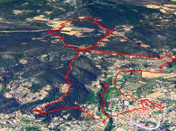
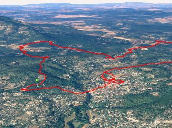
12,1 km | 16,5 km-effort
Cotignac: Descubra las mejores excursiones: 60 a pie y 2 en bici o bici de montaña. Todos estos circuitos, recorridos, itinerarios y actividades al aire libre están disponibles en nuestras aplicaciones SityTrail para smartphone y tablet.
Senderismo


Senderismo
Senderismo
Senderismo
Senderismo

A pie
Senderismo
Senderismo
• 6 février 2017. Reco avec Pierre, Ce parcours ne sera pas retenu, trop de problèmes au niveau du Tumulus, les pistes ...
Senderismo
Senderismo
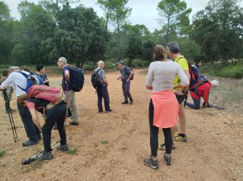
• Rando de Restons en Forme du 16 avril 2014 sous la baguette de Pierre. Beau parcours, la première montée très raide, ...
Bici de montaña
• route et chemins
Senderismo
Senderismo
• 83-D-Cotignac : les Joncquiers - cabanon de Sara 2024-12-15-ORB

Senderismo
Senderismo
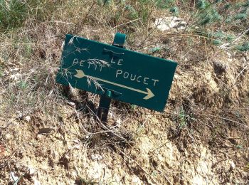
Senderismo
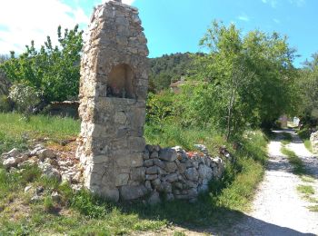
Senderismo
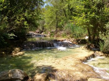
Senderismo

Senderismo
Senderismo
20 excursiones mostradas en 66
Aplicación GPS de excursión GRATIS
 SityTrail
IGN / Institutos geográficos
SityTrail World
El mundo es suyo