


15,3 km | 22 km-effort
Le Plan-de-la-Tour: Descubra las mejores excursiones: 32 a pie, 4 en bici o bici de montaña y 2 recorridos ecuestres. Todos estos circuitos, recorridos, itinerarios y actividades al aire libre están disponibles en nuestras aplicaciones SityTrail para smartphone y tablet.
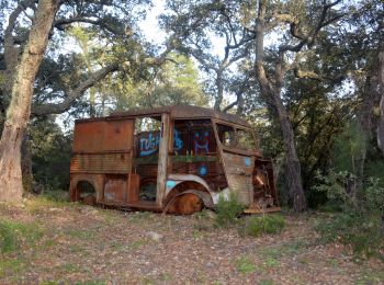
Senderismo


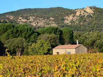
Senderismo
Senderismo
Senderismo
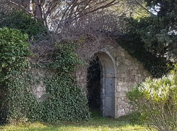
Senderismo
Senderismo

Senderismo

 31.821
sport
Senderismo

Bici de carretera
Bici de montaña

Senderismo
Bici de montaña
• la descente final est de niveau moyen confirmé.
Senderismo
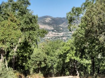
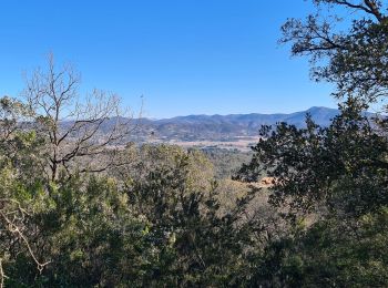
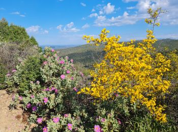
• Balade agréable en partie dans la forêt. Bell vue sur une partie du golfe depuis le sommet. Ca grimpe un peu.

Otra actividad
• Facile
Otra actividad
• Facile
Senderismo
• Ballade mi ombre jolie vue sur le golfe de saint Tropez
Senderismo
Senderismo
Senderismo
20 excursiones mostradas en 43
Aplicación GPS de excursión GRATIS
 SityTrail
IGN / Institutos geográficos
SityTrail World
El mundo es suyo