


7,8 km | 10,1 km-effort
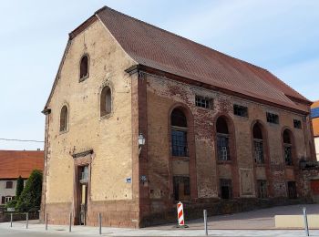
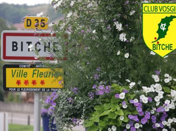
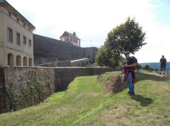
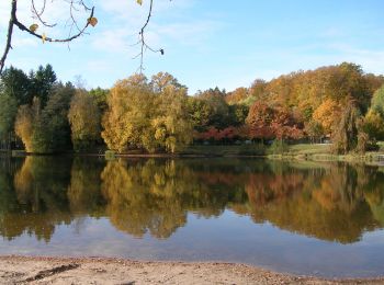
Bitche: Descubra las mejores excursiones: 25 a pie, 8 en bici o bici de montaña y 6 recorridos ecuestres. Todos estos circuitos, recorridos, itinerarios y actividades al aire libre están disponibles en nuestras aplicaciones SityTrail para smartphone y tablet.
Senderismo


Senderismo
Senderismo
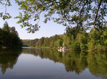
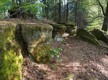
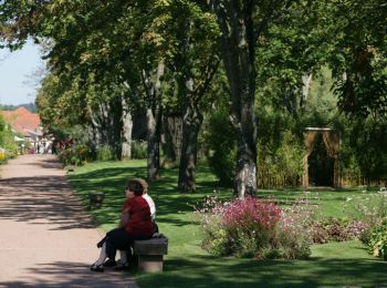
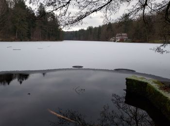
A pie
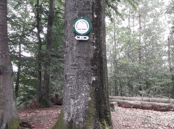
• Trail created by Club vosgien Bitche. Symbol: yellow triangle Sitio web: https://ignrando.fr/fr/parcours/28495-371...
A pie
• Trail created by Club vosgien Bitche. Symbol: blue dot Sitio web: https://ignrando.fr/fr/parcours/27688-3713et-bit...
A pie
• Trail created by Club Vosgien. Symbol: white strip on top of yellow rectangle
A pie
• Trail created by Club vosgien Bitche. Formerly marked by a yellow dot from the Loechersbach Pond to Lemberg. Symbol...
A pie
• Trail created by Club vosgien Bitche. Formerly marked by a vertical blue rectangle. Symbol: green x Sitio web: ht...
A pie
• Trail created by Club vosgien Bitche. Symbol: green circle with white dot in the middle Sitio web: https://ignrand...
Senderismo
Senderismo
Senderismo
Paseo ecuestre
Senderismo

Paseo ecuestre
Paseo ecuestre

Senderismo

Senderismo
Marcha nórdica

Bici de montaña
20 excursiones mostradas en 40
Aplicación GPS de excursión GRATIS
 SityTrail
IGN / Institutos geográficos
SityTrail World
El mundo es suyo