


11,1 km | 16,6 km-effort
Lapoutroie: Descubra las mejores excursiones: 48 a pie, 8 en bici o bici de montaña y 1 recorridos ecuestres. Todos estos circuitos, recorridos, itinerarios y actividades al aire libre están disponibles en nuestras aplicaciones SityTrail para smartphone y tablet.

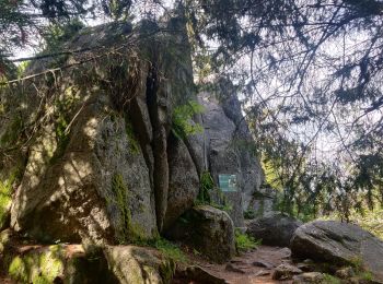
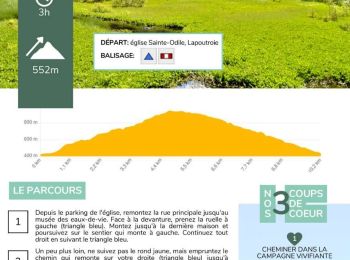
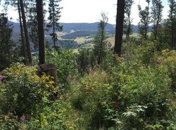
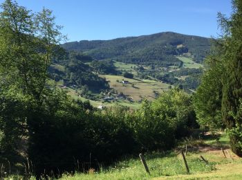
Senderismo


• Après un bon repas au restaurant des Alisiers
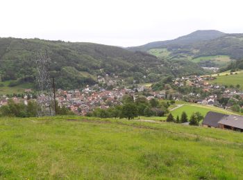
Senderismo
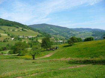
Senderismo
Senderismo
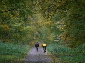
Bici de montaña

Bici de montaña
• Au départ d'Orbey vers le Faudé. Puis lac Blanc, lac Noir, col du Wettstein. Retour sur Orbey par GR531.
Senderismo
Senderismo
Senderismo
Senderismo
 7.594
7.594
sport
Senderismo
Senderismo

Senderismo
Senderismo

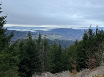
Raquetas de nieve
Senderismo
Bici de montaña
Senderismo
• D�tails de la rando sur TraceGPS.com http://www.tracegps.com/fr/parcours/circuit11227.htm
Senderismo
20 excursiones mostradas en 68
Aplicación GPS de excursión GRATIS
 SityTrail
IGN / Institutos geográficos
SityTrail World
El mundo es suyo