


8,1 km | 18,8 km-effort
Le Reposoir: Descubra las mejores excursiones: 90 a pie. Todos estos circuitos, recorridos, itinerarios y actividades al aire libre están disponibles en nuestras aplicaciones SityTrail para smartphone y tablet.
Senderismo


Senderismo
Senderismo
Senderismo

Senderismo
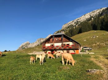
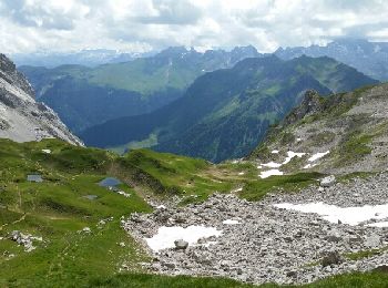
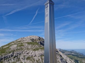
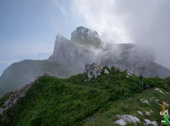
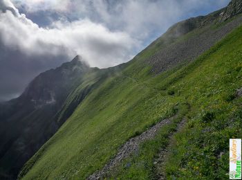
• Montée via la grotte de Montarquis et la combe sauvage - Redescente via le col de Balafrasse.
Senderismo
Senderismo
Senderismo
Senderismo
Senderismo
Senderismo
Senderismo
Senderismo
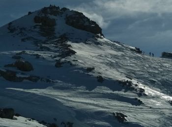
Esquí de fondo
Senderismo
Senderismo
Senderismo
• petite boucle
Senderismo
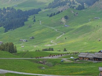
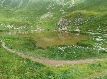
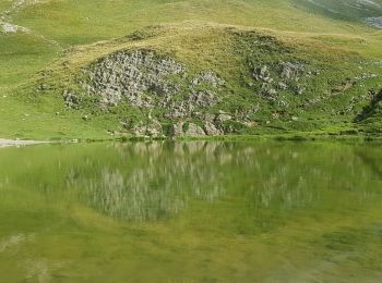
• col de la collombiere lac de peyre
Senderismo
Senderismo
20 excursiones mostradas en 108
Aplicación GPS de excursión GRATIS
 SityTrail
IGN / Institutos geográficos
SityTrail World
El mundo es suyo