


7,8 km | 11,9 km-effort
Les Villards-sur-Thônes: Descubra las mejores excursiones: 20 a pie. Todos estos circuitos, recorridos, itinerarios y actividades al aire libre están disponibles en nuestras aplicaciones SityTrail para smartphone y tablet.
Senderismo


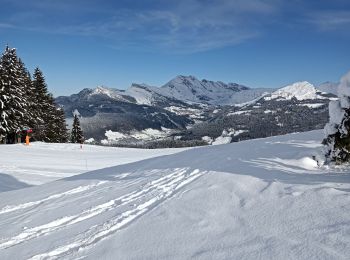
Raquetas de nieve
Senderismo
Senderismo

Senderismo
•
Senderismo
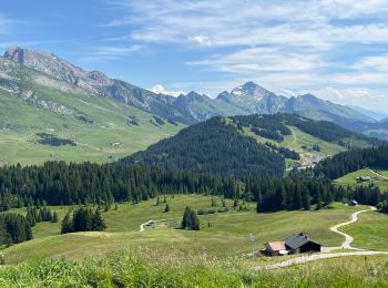
• Beauregard - Circuit par les Fretes
Senderismo

Senderismo
Senderismo
Senderismo
• sentier piéton de Beauregard
Senderismo

Marcha nórdica
Senderismo
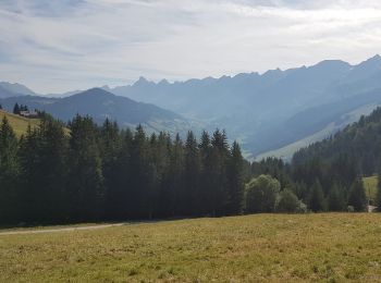
• Beauregard - Descente vers la Clusaz
Senderismo
Senderismo
Senderismo
Senderismo
A pie
Senderismo

Raquetas de nieve
20 excursiones mostradas en 22
Aplicación GPS de excursión GRATIS
 SityTrail
IGN / Institutos geográficos
SityTrail World
El mundo es suyo