


10,5 km | 18,5 km-effort
Arith: Descubra las mejores excursiones: 43 a pie, 3 en bici o bici de montaña y 4 recorridos ecuestres. Todos estos circuitos, recorridos, itinerarios y actividades al aire libre están disponibles en nuestras aplicaciones SityTrail para smartphone y tablet.
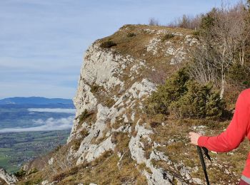
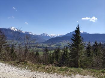
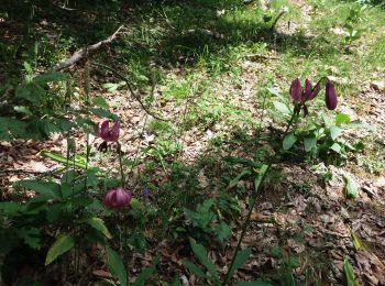
Senderismo


Senderismo
Senderismo
Senderismo
• Bois et alpages
Senderismo
Senderismo
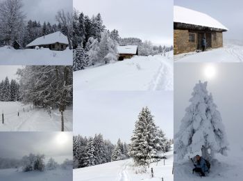
Raquetas de nieve
Senderismo

Raquetas de nieve
Raquetas de nieve
• Randonnée pédestre en hiver.

Senderismo
•
Senderismo
Senderismo
Senderismo
Senderismo
Senderismo

Bici de montaña
Bici de montaña
Bici de montaña
Senderismo
20 excursiones mostradas en 68
Aplicación GPS de excursión GRATIS
 SityTrail
IGN / Institutos geográficos
SityTrail World
El mundo es suyo