


9,2 km | 13,8 km-effort
Chindrieux: Descubra las mejores excursiones: 15 a pie y 2 en bici o bici de montaña. Todos estos circuitos, recorridos, itinerarios y actividades al aire libre están disponibles en nuestras aplicaciones SityTrail para smartphone y tablet.
Senderismo


Senderismo

Senderismo
Senderismo
Senderismo
Senderismo

Senderismo

Piragüismo
Senderismo
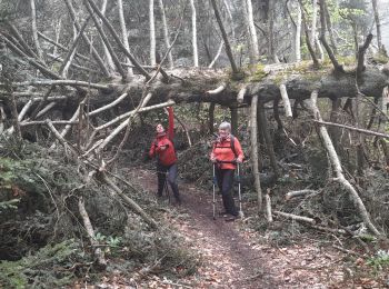
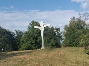
• Randonnée facile avec de jolis points de vue sur le lac du Bourget. Un aller retour à la croix de Beauvoir et sa plat...
Senderismo
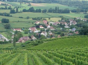
• chindrieux
Senderismo
Senderismo

Bici de carretera
Senderismo
Senderismo
Senderismo

Otra actividad
Bicicleta
Senderismo
19 excursiones mostradas en 19
Aplicación GPS de excursión GRATIS
 SityTrail
IGN / Institutos geográficos
SityTrail World
El mundo es suyo