


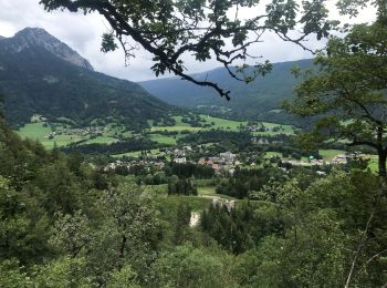
10,6 km | 24 km-effort
Le Châtelard: Descubra las mejores excursiones: 31 a pie, 1 en bici o bici de montaña y 5 recorridos ecuestres. Todos estos circuitos, recorridos, itinerarios y actividades al aire libre están disponibles en nuestras aplicaciones SityTrail para smartphone y tablet.
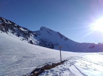
Esquí de fondo


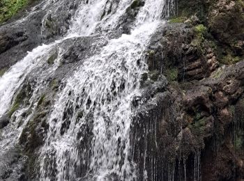
Senderismo
Senderismo
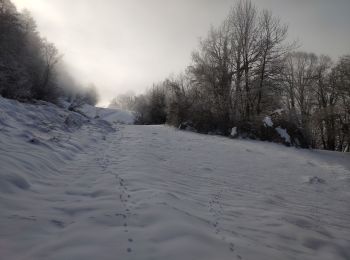
Senderismo
Senderismo

Senderismo
Senderismo
• Rando très facile à faire avec de jeunes enfants.
Senderismo
Senderismo

A pie
• Rando très facile à faire avec de jeunes enfants.
Senderismo
Senderismo

Paseo ecuestre
Senderismo

Bici de montaña
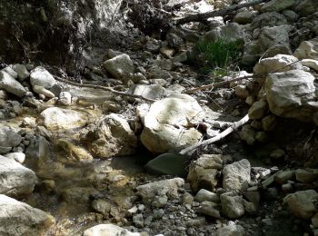
• C\'est une randonnée entièrement roulante qui nous emmène des bords du Chéran et du lac de la Motte au col du Plane e...
Senderismo
Senderismo
Senderismo
Senderismo
Otra actividad
• chasse
20 excursiones mostradas en 42
Aplicación GPS de excursión GRATIS
 SityTrail
IGN / Institutos geográficos
SityTrail World
El mundo es suyo