


6,9 km | 10 km-effort
Ambert: Descubra las mejores excursiones: 25 a pie y 10 en bici o bici de montaña. Todos estos circuitos, recorridos, itinerarios y actividades al aire libre están disponibles en nuestras aplicaciones SityTrail para smartphone y tablet.
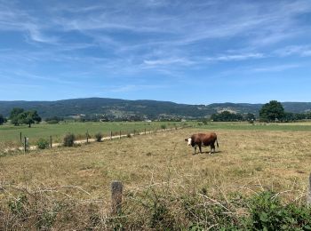
A pie


• Trail created by CD63.
Bici de montaña
Bici de montaña
Bici de montaña
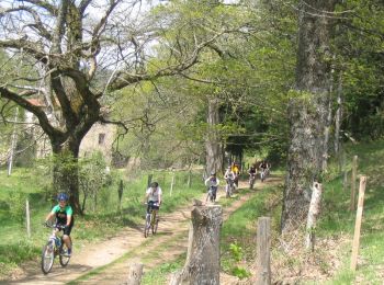
Bici de montaña

A pie
• Symbol: yellow_bar
A pie
• Symbol: yellow_bar
A pie
• Trail created by CD63.
Bici de montaña

Senderismo
Senderismo
A pie
A pie
A pie

Bici de carretera
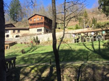
Senderismo
Bici de montaña
• Circuit 7 t 15
Bici de montaña

 136.346
sport
Senderismo
20 excursiones mostradas en 36
Aplicación GPS de excursión GRATIS
 SityTrail
IGN / Institutos geográficos
SityTrail World
El mundo es suyo