


14,9 km | 19,8 km-effort
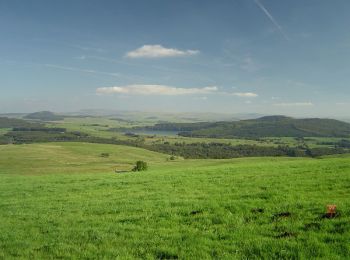
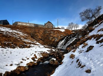
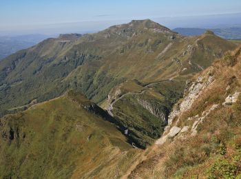
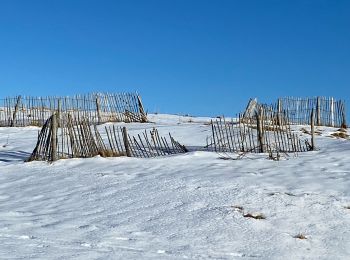
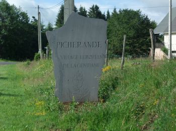
Picherande: Descubra las mejores excursiones: 69 a pie, 6 en bici o bici de montaña y 2 recorridos ecuestres. Todos estos circuitos, recorridos, itinerarios y actividades al aire libre están disponibles en nuestras aplicaciones SityTrail para smartphone y tablet.
Bici de montaña


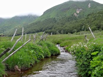
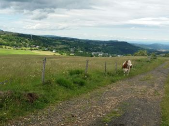
A pie
• Trail created by CD63.
A pie
• Trail created by CD63.
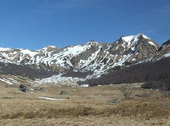
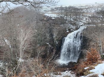
Senderismo
Senderismo
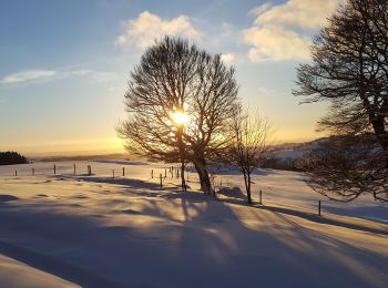
Senderismo
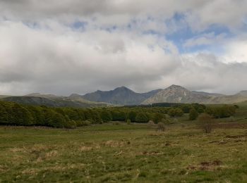
4x4
Senderismo
Senderismo

Senderismo
Senderismo
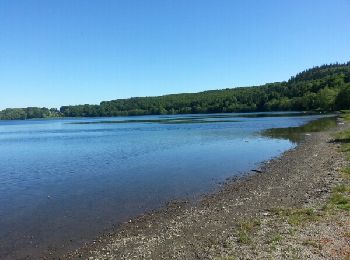
• Lac et montagne Rando 3 page 55 du guide Chaminat

Senderismo
Senderismo
Senderismo
Senderismo
Senderismo
Senderismo
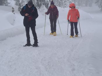
Raquetas de nieve
Senderismo
Senderismo
20 excursiones mostradas en 96
Aplicación GPS de excursión GRATIS
 SityTrail
IGN / Institutos geográficos
SityTrail World
El mundo es suyo