


10,7 km | 13,9 km-effort
Charbonnières-les-Varennes: Descubra las mejores excursiones: 46 a pie, 7 en bici o bici de montaña y 3 recorridos ecuestres. Todos estos circuitos, recorridos, itinerarios y actividades al aire libre están disponibles en nuestras aplicaciones SityTrail para smartphone y tablet.
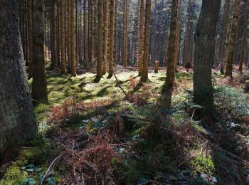
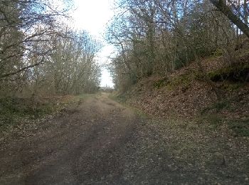
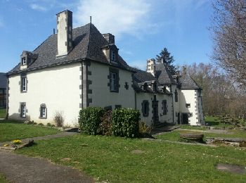
Senderismo


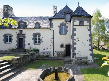
Senderismo
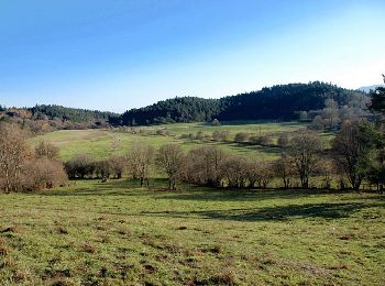
Senderismo
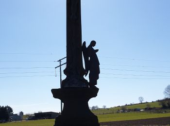
Senderismo
• Grande Boucle Veygoux boucle conseil départementale allongée
Senderismo
• BaliRando
Senderismo
Bici de montaña

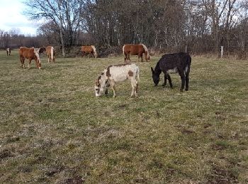
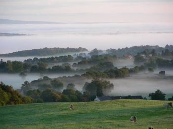
A pie
• Trail created by CD63.
Senderismo
Senderismo
Senderismo

Senderismo
Senderismo
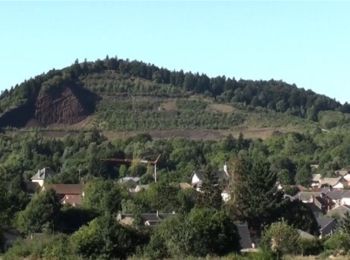
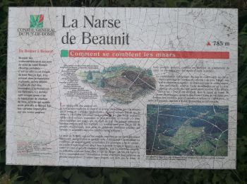
• Sillonnez les dépressions géologiques volcaniques (sucqs, maars, cheires et puys) au cœur d'une campagne paisible. Su...
Senderismo
Senderismo
• En passant par Charbonnière les Varennes
Senderismo
• Chaminat Chaine des Puys Page 80 Rando 18

Paseo ecuestre
Paseo ecuestre
A pie

Bici de montaña
20 excursiones mostradas en 53
Aplicación GPS de excursión GRATIS
 SityTrail
IGN / Institutos geográficos
SityTrail World
El mundo es suyo