


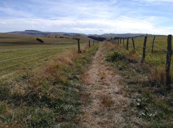
16,3 km | 21 km-effort
La Godivelle: Descubra las mejores excursiones: 29 a pie, 12 en bici o bici de montaña y 1 recorridos ecuestres. Todos estos circuitos, recorridos, itinerarios y actividades al aire libre están disponibles en nuestras aplicaciones SityTrail para smartphone y tablet.
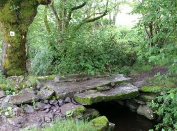
Senderismo


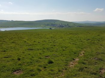
Senderismo
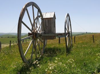
Senderismo
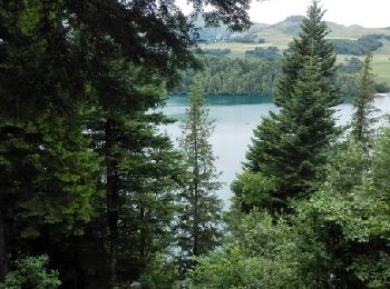
Senderismo
Senderismo
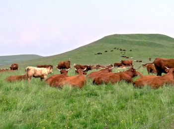
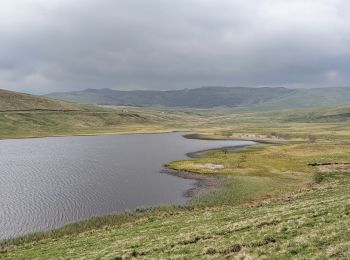
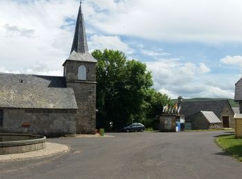
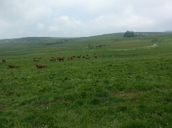
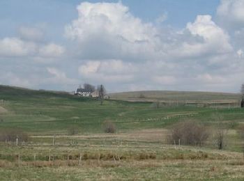
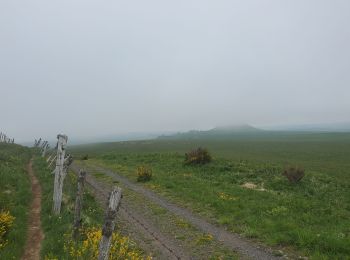
• Le départ de La Godivelle est à 65 km de Royat (1h de voiture). eaux paysages d'élevage de Salers Aubracs et Ferranda...

Carrera
Senderismo
Senderismo
A pie
Senderismo
Senderismo
Senderismo
Otra actividad
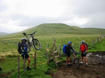
Bici de montaña
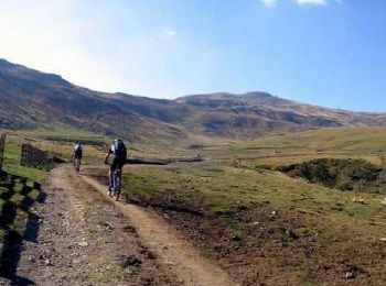
Bici de montaña
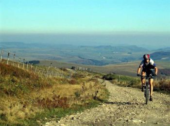
Bici de montaña

Senderismo
Senderismo
Senderismo
Senderismo
20 excursiones mostradas en 45
Aplicación GPS de excursión GRATIS
 SityTrail
IGN / Institutos geográficos
SityTrail World
El mundo es suyo