


11,1 km | 17,4 km-effort
Saint-Christophe-sur-Guiers: Descubra las mejores excursiones: 59 a pie, 1 en bici o bici de montaña y 2 recorridos ecuestres. Todos estos circuitos, recorridos, itinerarios y actividades al aire libre están disponibles en nuestras aplicaciones SityTrail para smartphone y tablet.
Raquetas de nieve


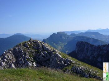
• Belle boucle, mais comme souvent en Chartreuse avec Beaucoup de foret, très dense à la fin de la descente. Il vaut mi...
Senderismo
Senderismo
Esquí de fondo
Senderismo
Senderismo
Senderismo
Senderismo
Senderismo
• Retour par le pas du loup
Senderismo
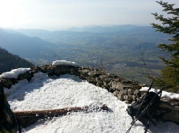
• Reco du 03/05/17
Senderismo
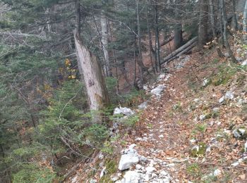
• Montée par le Nord sur un itinéraire peu fréquenté. Retour par Bovinant et le Pas de Loup. Pas difficultés particuliè...

Otra actividad
Raquetas de nieve
Senderismo
Senderismo
Esquí de fondo
Senderismo
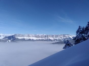
• Belle Boucle - Sentiers bien tracés, même dans la cheminée. Tranquillement: 2h de montée, 2,5 h de descente.
Senderismo
•

Raquetas de nieve
Senderismo
20 excursiones mostradas en 103
Aplicación GPS de excursión GRATIS
 SityTrail
IGN / Institutos geográficos
SityTrail World
El mundo es suyo