


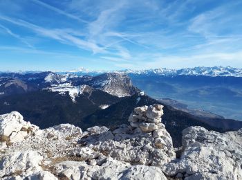
10 km | 23 km-effort
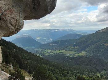
Sarcenas: Descubra las mejores excursiones: 110 a pie. Todos estos circuitos, recorridos, itinerarios y actividades al aire libre están disponibles en nuestras aplicaciones SityTrail para smartphone y tablet.
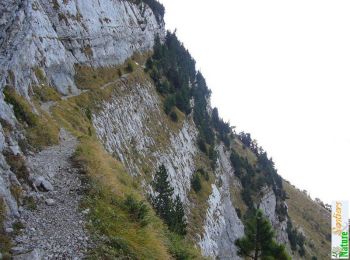
Senderismo


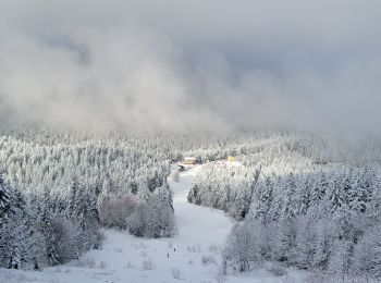
Esquí de fondo
Senderismo

Senderismo
Senderismo
Senderismo
Senderismo
Senderismo
Raquetas de nieve
Senderismo
Raquetas de nieve
Senderismo
Senderismo
Raquetas de nieve
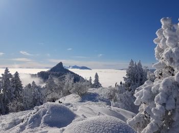
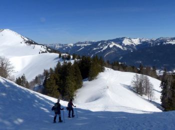
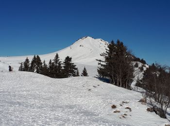
• randonnée raquettes montée à charmant Som difficile nécessite une bonne condition physique mais ça vaut l'effort vue ...
Senderismo

Senderismo
Esquí de fondo
Raquetas de nieve
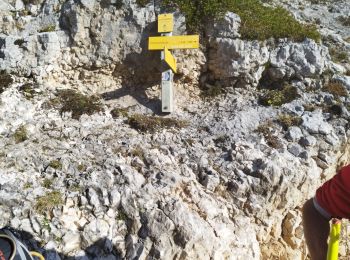
Ruta
Raquetas de nieve
20 excursiones mostradas en 169
Aplicación GPS de excursión GRATIS
 SityTrail
IGN / Institutos geográficos
SityTrail World
El mundo es suyo