


11,9 km | 24 km-effort
Rencurel: Descubra las mejores excursiones: 70 a pie, 10 en bici o bici de montaña y 1 recorridos ecuestres. Todos estos circuitos, recorridos, itinerarios y actividades al aire libre están disponibles en nuestras aplicaciones SityTrail para smartphone y tablet.
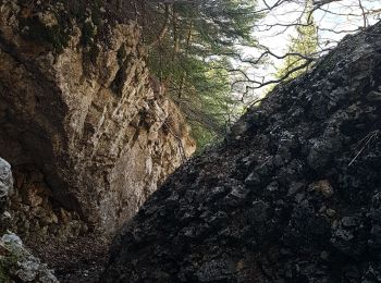
Senderismo


A pie
Senderismo
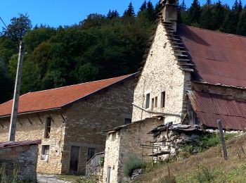
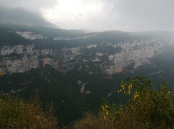
Senderismo
Senderismo
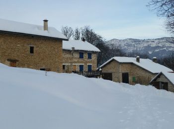
Raquetas de nieve
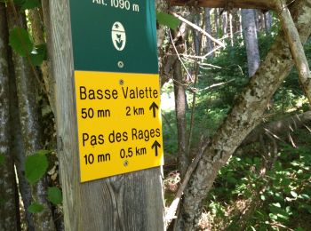
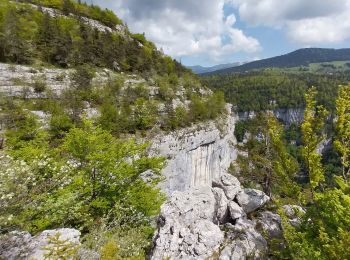
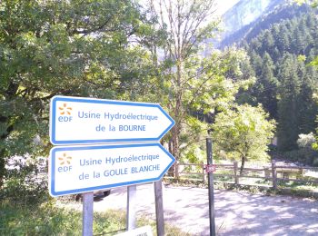
• Départ des Ailes > Ref. du Serre du Sâtre > La Goulandière > Le Belvédère et retour par le GR de pays. Traces dans la...
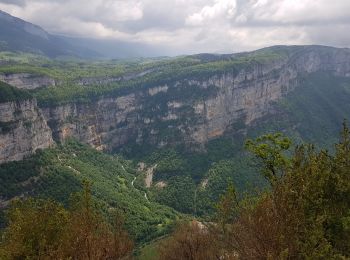
Senderismo
Senderismo

Senderismo
Senderismo

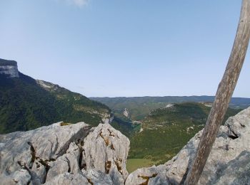
Senderismo
Senderismo
Senderismo

Senderismo
Senderismo
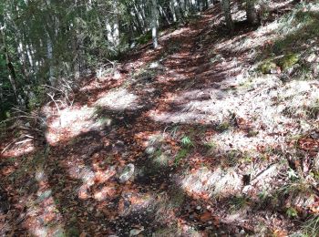
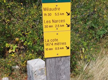
• Le dénivelé cumulé positif calculé automatiquement est faux.Il est plutôt de 700 m. Boucle forestière sans problèmes,...
Senderismo
• azur 08.06.17

Raquetas de nieve

Bici de montaña
Senderismo
Senderismo
20 excursiones mostradas en 92
Aplicación GPS de excursión GRATIS
 SityTrail
IGN / Institutos geográficos
SityTrail World
El mundo es suyo