


5,7 km | 14,7 km-effort
Plateau-des-Petites-Roches: Descubra las mejores excursiones: 138 a pie, 2 en bici o bici de montaña y 3 recorridos ecuestres. Todos estos circuitos, recorridos, itinerarios y actividades al aire libre están disponibles en nuestras aplicaciones SityTrail para smartphone y tablet.
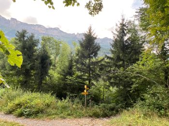
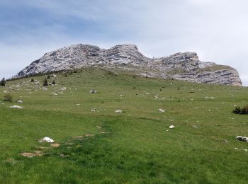
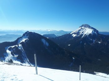
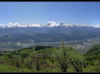
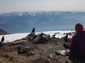
Senderismo


Senderismo
A pie
• Toutes les disponibilités pour réserver vos vacances dans le massif de Chartreuse et plein d’autres informations : gî...
Esquí de fondo

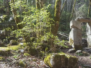
Senderismo
Senderismo
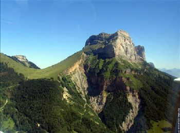
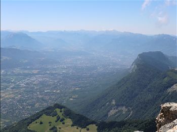
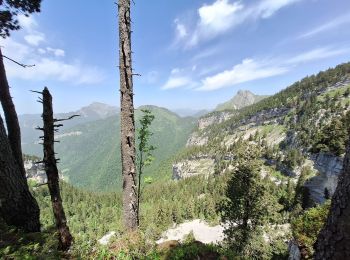
• Dent de crolles Boucle par Trou du Glaz et le Pas de l'Oeille
Senderismo
Senderismo
Senderismo
Senderismo
Senderismo
Senderismo
Senderismo
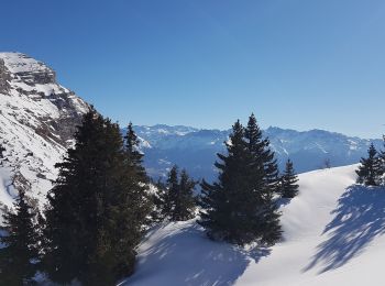
Raquetas de nieve
Raquetas de nieve
Senderismo
Senderismo
Senderismo
A pie
Senderismo
20 excursiones mostradas en 177
Aplicación GPS de excursión GRATIS
 SityTrail
IGN / Institutos geográficos
SityTrail World
El mundo es suyo