


28 km | 38 km-effort
Ambierle: Descubra las mejores excursiones: 7 a pie y 4 en bici o bici de montaña. Todos estos circuitos, recorridos, itinerarios y actividades al aire libre están disponibles en nuestras aplicaciones SityTrail para smartphone y tablet.
Carrera


Bici de montaña

Senderismo

Bici de montaña
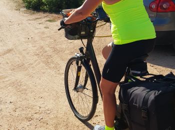
Bicicleta híbrida

Senderismo
Senderismo
• Marche des ânes à Ambierle circuit des 12 Km

A pie
Senderismo

 22.728
sport
Bici de montaña
Senderismo
Otra actividad
13 excursiones mostradas en 13
Aplicación GPS de excursión GRATIS
 SityTrail
IGN / Institutos geográficos
SityTrail World
El mundo es suyo