


15,6 km | 24 km-effort
Chalencon: Descubra las mejores excursiones: 20 a pie y 8 en bici o bici de montaña. Todos estos circuitos, recorridos, itinerarios y actividades al aire libre están disponibles en nuestras aplicaciones SityTrail para smartphone y tablet.
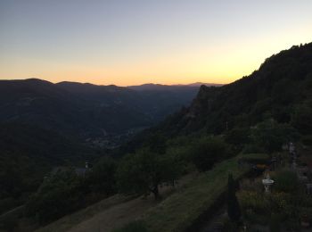
Senderismo


• Très beau circuit de randonnée avec un petit bémol sur le tracé du GRP qui n'est pas top au niveau de l'entretien. À ...

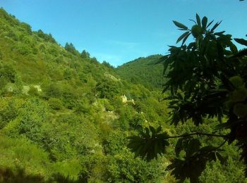
Senderismo
• Très beau circuit de randonnée avec un petit bémol sur le tracé du GRP qui n'est pas top au niveau de l'entretien. À ...
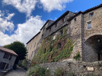
Senderismo
• Départ pour un tronçon de la Via Dolce avec une bonne descente et pour finir une bonne montée !!!! Attention en été a...
Senderismo
Senderismo

Senderismo
Senderismo

Bici de montaña
Bici de montaña
Bici de montaña
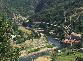
• Le Cheylard Pont de Chervil
Bici de montaña
• Circuit parfois difficile où il faut savoir mettre le pied à terre. Mais de très beaux points de vue.
Bici de montaña
• Circuit difficile avec des passages très techniques ou physiques ou il faut parfois mieux les passer à pieds, ce que ...
Senderismo
Senderismo
Senderismo
Senderismo
Senderismo
Senderismo
Bici de montaña
Senderismo
20 excursiones mostradas en 29
Aplicación GPS de excursión GRATIS
 SityTrail
IGN / Institutos geográficos
SityTrail World
El mundo es suyo