


14 km | 28 km-effort
Mayres: Descubra las mejores excursiones: 53 a pie. Todos estos circuitos, recorridos, itinerarios y actividades al aire libre están disponibles en nuestras aplicaciones SityTrail para smartphone y tablet.

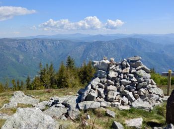
Senderismo


• charignon gene barbaret hors sentier
Senderismo
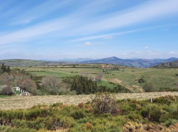
A pie
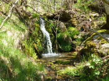
Senderismo
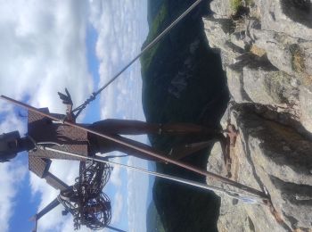
Senderismo
Senderismo
Senderismo
Senderismo
Senderismo
Senderismo
Senderismo
Senderismo

A pie
Senderismo
Senderismo
Senderismo
Senderismo
Senderismo
Senderismo
• Rando Mars 2019
Senderismo
• Rando du 15/01/2018
20 excursiones mostradas en 54
Aplicación GPS de excursión GRATIS
 SityTrail
IGN / Institutos geográficos
SityTrail World
El mundo es suyo