


8,7 km | 12,6 km-effort
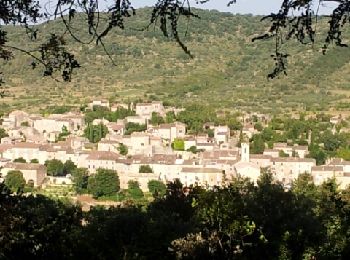
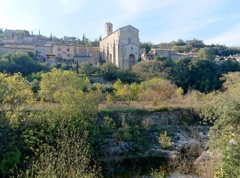
Lagorce: Descubra las mejores excursiones: 66 a pie y 8 en bici o bici de montaña. Todos estos circuitos, recorridos, itinerarios y actividades al aire libre están disponibles en nuestras aplicaciones SityTrail para smartphone y tablet.
Marcha nórdica


•
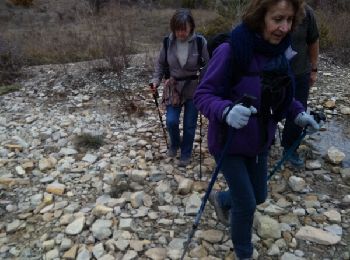
A pie
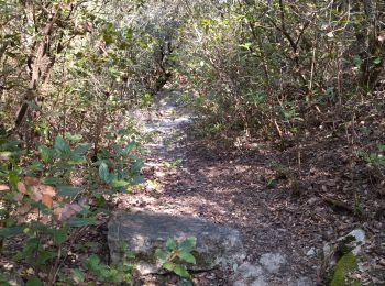
Senderismo
Bici de montaña

Senderismo
Senderismo
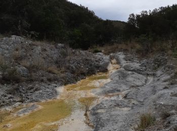
• Antoine jackie jp gêne chari renee 14 04 29 sympa de lit rivière et arche
Senderismo
Senderismo
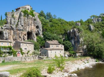
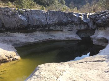
• Depart au bord de l'Ibie remonter le sentier juste avant le camping. Descendre au bas de la cascade du gour de l'oule...
Senderismo
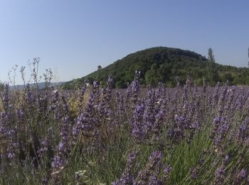
• Départ de Leyris et descente vers l'Ardèche avec un léger dénivellé au milieu de vignobles. Nous empruntons une ancie...

Senderismo
•
Senderismo
Marcha nórdica
Senderismo
Senderismo
Senderismo
• 10 1 18 m et m sentiers carrossables jusqu a balazuc . Après syma
Otra actividad
Senderismo
Senderismo
Senderismo
Senderismo
20 excursiones mostradas en 77
Aplicación GPS de excursión GRATIS
 SityTrail
IGN / Institutos geográficos
SityTrail World
El mundo es suyo