


10,3 km | 21 km-effort
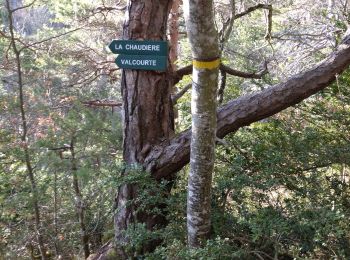
La Chaudière: Descubra las mejores excursiones: 108 a pie, 1 en bici o bici de montaña y 12 recorridos ecuestres. Todos estos circuitos, recorridos, itinerarios y actividades al aire libre están disponibles en nuestras aplicaciones SityTrail para smartphone y tablet.
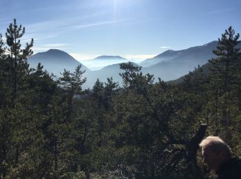
Senderismo


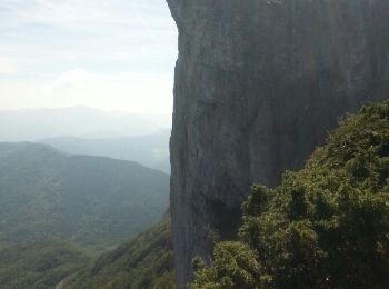
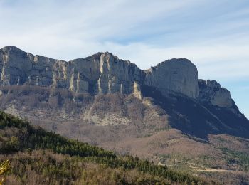
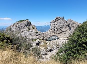
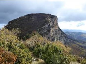
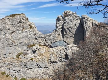
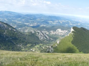
• Boucle des 3 Becs
Senderismo
Senderismo
Senderismo
Senderismo
Senderismo
Senderismo
Senderismo
Senderismo
Senderismo

Senderismo
Senderismo

Senderismo
Senderismo
Senderismo
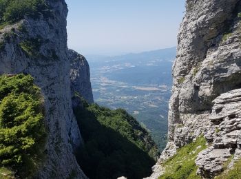
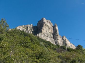
• les trois becs dans le sens anti horaire par le col de la chaudière
Senderismo

Senderismo
Senderismo
Senderismo
Senderismo
20 excursiones mostradas en 131
Aplicación GPS de excursión GRATIS
 SityTrail
IGN / Institutos geográficos
SityTrail World
El mundo es suyo