


28 km | 34 km-effort
Villiers-le-Bâcle: Descubra las mejores excursiones: 56 a pie, 9 en bici o bici de montaña y 2 recorridos ecuestres. Todos estos circuitos, recorridos, itinerarios y actividades al aire libre están disponibles en nuestras aplicaciones SityTrail para smartphone y tablet.
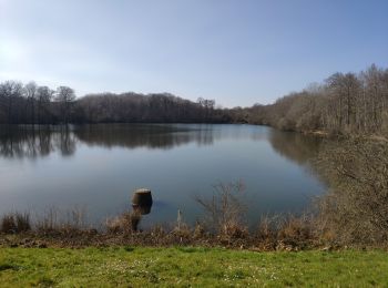
Senderismo


A pie

Senderismo

Caballo

Senderismo
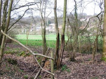
Senderismo
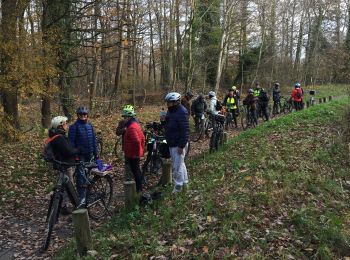
Bici de montaña
Bici de montaña
Senderismo
Senderismo
Senderismo

A pie
Senderismo
Senderismo
Senderismo
Bici de montaña
Bici de montaña
Senderismo
• Villiers-le-bâcle
Senderismo
• Villiers-le-bâcle
Senderismo
20 excursiones mostradas en 68
Aplicación GPS de excursión GRATIS
 SityTrail
IGN / Institutos geográficos
SityTrail World
El mundo es suyo