


34 km | 37 km-effort
Annay: Descubra las mejores excursiones: 4 a pie y 2 en bici o bici de montaña. Todos estos circuitos, recorridos, itinerarios y actividades al aire libre están disponibles en nuestras aplicaciones SityTrail para smartphone y tablet.
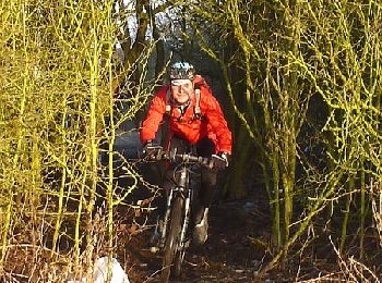
Bici de montaña


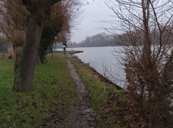
Senderismo

Bici de montaña
• Première sortie de l'année en VTT, le 23 février, difficile physiquement pour la première sortie. J'ai mis 4 heures ...

Otra actividad
•
Otra actividad
•

Senderismo
•
Otra actividad
•
Otra actividad
•
Otra actividad
•
Senderismo
Marcha nórdica
•
11 excursiones mostradas en 11
Aplicación GPS de excursión GRATIS
 SityTrail
IGN / Institutos geográficos
SityTrail World
El mundo es suyo