


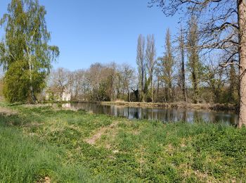
7,9 km | 10 km-effort
Coye-la-Forêt: Descubra las mejores excursiones: 60 a pie, 4 en bici o bici de montaña y 15 recorridos ecuestres. Todos estos circuitos, recorridos, itinerarios y actividades al aire libre están disponibles en nuestras aplicaciones SityTrail para smartphone y tablet.
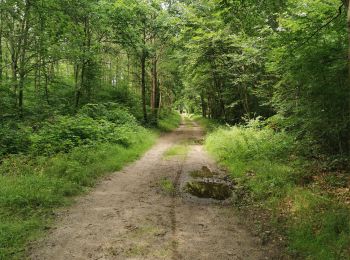
Senderismo


Senderismo
Senderismo
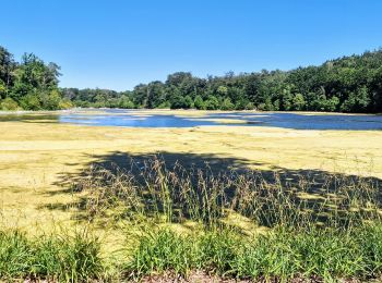
A pie

Senderismo
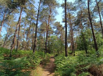
Senderismo

Bicicleta híbrida
Bicicleta híbrida

Senderismo
Senderismo
Senderismo
Senderismo
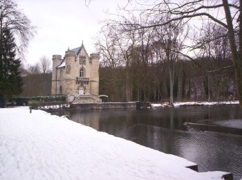
• Coye la For^t

Enganche
Enganche

Marcha nórdica
Enganche
Enganche
A pie
Senderismo
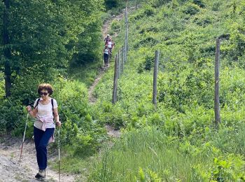
Marcha nórdica
20 excursiones mostradas en 82
Aplicación GPS de excursión GRATIS
 SityTrail
IGN / Institutos geográficos
SityTrail World
El mundo es suyo