


3,7 km | 4 km-effort
Huelva: Descubra las mejores excursiones: 24 a pie y 3 en bici o bici de montaña. Todos estos circuitos, recorridos, itinerarios y actividades al aire libre están disponibles en nuestras aplicaciones SityTrail para smartphone y tablet.
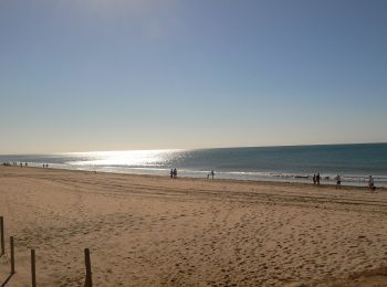
A pie


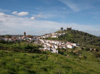
A pie
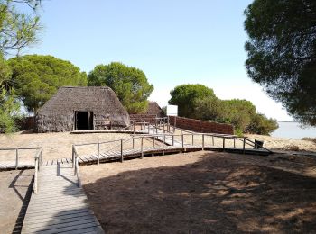
A pie
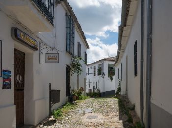
A pie
A pie
A pie
Senderismo
• I don't advice to do this walk as several ways indicated on the map do not exist or are in private fields. We had to ...
Senderismo
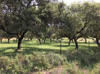
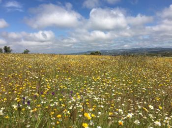
• From Cumbres Mayores to the valley and back. We walked slowly stopping often to look at flowers (mid May).
A pie

A pie
• Trail created by Cortelazor la Real.
A pie
• Trail created by Cortelazor la Real.
Senderismo
A pie

Bicicleta
Bicicleta
Bicicleta

Raquetas de nieve
Raquetas de nieve

Senderismo
Senderismo
20 excursiones mostradas en 31
Aplicación GPS de excursión GRATIS
 SityTrail
IGN / Institutos geográficos
SityTrail World
El mundo es suyo