


3,5 km | 4,8 km-effort
Ochagavía: Descubra las mejores excursiones: 8 a pie y 2 recorridos ecuestres. Todos estos circuitos, recorridos, itinerarios y actividades al aire libre están disponibles en nuestras aplicaciones SityTrail para smartphone y tablet.
A pie


A pie
Senderismo

A pie
• Sitio web: http://www.irati.org/es/senderismo/senderos-locales/senderos-salazar
Senderismo
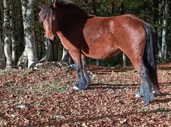
Paseo ecuestre

Senderismo
Senderismo

Paseo ecuestre

Esquí de fondo
Senderismo
11 excursiones mostradas en 11
Aplicación GPS de excursión GRATIS
 SityTrail
IGN / Institutos geográficos
SityTrail World
El mundo es suyo