


10,7 km | 13,9 km-effort
Lugo: Descubra las mejores excursiones: 144 a pie y 7 en bici o bici de montaña. Todos estos circuitos, recorridos, itinerarios y actividades al aire libre están disponibles en nuestras aplicaciones SityTrail para smartphone y tablet.
A pie


• Trail created by Xunta de Galicia, Consellería do medio rural.
A pie
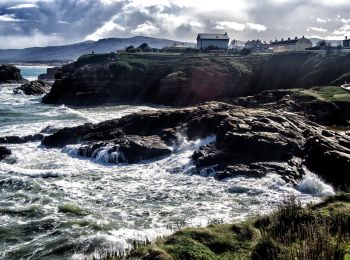
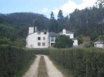
• Trail created by Concello de Foz.
A pie
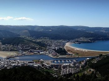
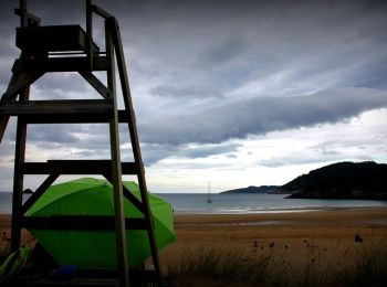
• Trail created by Concello de Viveiro+.
A pie
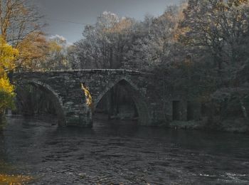
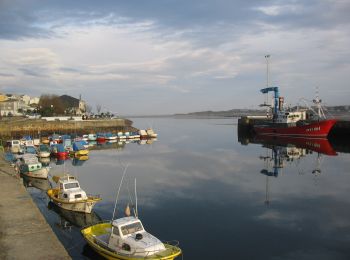
• Trail created by Concello de Outeiro de Rei.
Senderismo
Senderismo

Senderismo
Senderismo
Senderismo
A pie
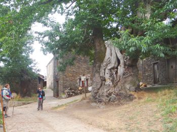
• Trail created by Concello de Foz.
A pie
A pie
A pie
Senderismo
Senderismo
Senderismo

Senderismo
Senderismo

Senderismo
Senderismo
20 excursiones mostradas en 155
Aplicación GPS de excursión GRATIS
 SityTrail
IGN / Institutos geográficos
SityTrail World
El mundo es suyo