![](/images/other/stat-length.png)
- Excursiones
- Outdoor
- Germany
- Baja Sajonia
- Landkreis Hameln-Pyrmont
- Salzhemmendorf
Salzhemmendorf, Landkreis Hameln-Pyrmont: Los mejores itinerarios de excursión, recorridos, paseos y sendas
Salzhemmendorf: Descubra las mejores excursiones: 3 a pie. Todos estos circuitos, recorridos, itinerarios y actividades al aire libre están disponibles en nuestras aplicaciones SityTrail para smartphone y tablet.
Los mejores recorridos (3)
![Excursión A pie Salzhemmendorf - SA3 Kanstein Rundwanderweg - Photo](https://media.geolcdn.com/t/350/260/db49aa31-23f4-4f59-8037-dffe03993ac9.jpeg&format=jpg&maxdim=2)
![A pie A pie](https://static1.geolcdn.com/sitytour/trail-icons/100.png)
Km
A pie
![](/images/other/stat-length.png)
![](https://static1.geolcdn.com/siteimages/upload/files/1508320355ic_sort_den_pos_24dp.png)
![](https://static1.geolcdn.com/siteimages/upload/files/1508320355ic_sort_den_neg_24dp.png)
![](https://static1.geolcdn.com/siteimages/upload/files/16400158638029165_repeat_loop_refresh_sync_direction_icon.png)
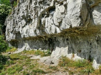
• Symbol: blaue Buchstaben und Ziffer SA3 auf gelbem Grund
![Excursión A pie Salzhemmendorf - CO4 Pilgerweg - Photo](https://media.geolcdn.com/t/350/260/181ff2ce-2b3b-41ad-8183-e2f428502ed3.jpeg&format=jpg&maxdim=2)
![A pie A pie](https://static1.geolcdn.com/sitytour/trail-icons/100.png)
Km
A pie
![](/images/other/stat-length.png)
![](https://static1.geolcdn.com/siteimages/upload/files/1508320355ic_sort_den_pos_24dp.png)
![](https://static1.geolcdn.com/siteimages/upload/files/1508320355ic_sort_den_neg_24dp.png)
![](https://static1.geolcdn.com/siteimages/upload/files/16400158638029165_repeat_loop_refresh_sync_direction_icon.png)
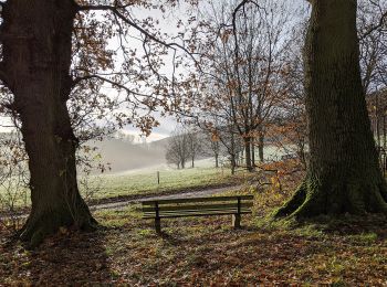
• Symbol: blaue Buchstaben und Ziffer CO 4 auf gelbem Grund Sitio web: http://www.ith-sagen.de/wp-content/uploads/201...
![Excursión A pie Salzhemmendorf - SA2 Rundwanderweg Ockensen-Hakenrode - Photo](https://media.geolcdn.com/t/350/260/ext.jpg?maxdim=2&url=https%3A%2F%2Fstatic1.geolcdn.com%2Fsiteimages%2Fupload%2Ffiles%2F1545311037marcheuse_200dpi.jpg)
![A pie A pie](https://static1.geolcdn.com/sitytour/trail-icons/100.png)
Km
A pie
![](/images/other/stat-length.png)
![](https://static1.geolcdn.com/siteimages/upload/files/1508320355ic_sort_den_pos_24dp.png)
![](https://static1.geolcdn.com/siteimages/upload/files/1508320355ic_sort_den_neg_24dp.png)
![](https://static1.geolcdn.com/siteimages/upload/files/16400158638029165_repeat_loop_refresh_sync_direction_icon.png)
• Symbol: blaue Buchstaben und Ziffer SA2 auf gelbem Grund
3 excursiones mostradas en 3
Aplicación GPS de excursión GRATIS