![](/images/other/stat-length.png)
- Excursiones
- Outdoor
- Germany
- Hesse
- Main-Kinzig-Kreis
- Bad Orb
Bad Orb, Main-Kinzig-Kreis: Los mejores itinerarios de excursión, recorridos, paseos y sendas
Bad Orb: Descubra las mejores excursiones: 32 a pie. Todos estos circuitos, recorridos, itinerarios y actividades al aire libre están disponibles en nuestras aplicaciones SityTrail para smartphone y tablet.
Los mejores recorridos (32)
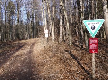
![Excursión A pie Bad Orb - Gebietswanderweg: Bad Orb => Alsberg - Photo](https://media.geolcdn.com/t/350/260/729948a7-febe-4c32-ab4d-e616d7fbaafe.jpeg&format=jpg&maxdim=2)
![A pie A pie](https://static1.geolcdn.com/sitytour/trail-icons/100.png)
Km
A pie
![](/images/other/stat-length.png)
![](https://static1.geolcdn.com/siteimages/upload/files/1508320355ic_sort_den_pos_24dp.png)
![](https://static1.geolcdn.com/siteimages/upload/files/1508320355ic_sort_den_neg_24dp.png)
![](https://static1.geolcdn.com/siteimages/upload/files/16400158638029165_repeat_loop_refresh_sync_direction_icon.png)
• Trail created by Spessartbund. Member aus Relation 3872157 entnommen. Symbol: Roter Balken auf weißem Grund
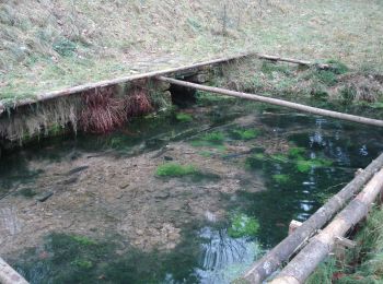
![Excursión A pie Bad Orb - Bad Orb Rundwanderweg 4 (Bildeichenweg) - Photo](https://media.geolcdn.com/t/350/260/b7b541a5-ca31-4e3b-b33d-80b81e06535a.jpeg&format=jpg&maxdim=2)
![A pie A pie](https://static1.geolcdn.com/sitytour/trail-icons/100.png)
Km
A pie
![](/images/other/stat-length.png)
![](https://static1.geolcdn.com/siteimages/upload/files/1508320355ic_sort_den_pos_24dp.png)
![](https://static1.geolcdn.com/siteimages/upload/files/1508320355ic_sort_den_neg_24dp.png)
![](https://static1.geolcdn.com/siteimages/upload/files/16400158638029165_repeat_loop_refresh_sync_direction_icon.png)
• Symbol: Blauer Text 4 auf weißem Grund
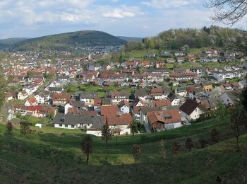
![Excursión A pie Bad Orb - Rundwanderweg Bad Orb 16 : Bad Orber Fernsicht - Photo](https://media.geolcdn.com/t/350/260/790b45eb-9bd5-4ec7-920b-c033ada86900.jpeg&format=jpg&maxdim=2)
![A pie A pie](https://static1.geolcdn.com/sitytour/trail-icons/100.png)
Km
A pie
![](/images/other/stat-length.png)
![](https://static1.geolcdn.com/siteimages/upload/files/1508320355ic_sort_den_pos_24dp.png)
![](https://static1.geolcdn.com/siteimages/upload/files/1508320355ic_sort_den_neg_24dp.png)
![](https://static1.geolcdn.com/siteimages/upload/files/16400158638029165_repeat_loop_refresh_sync_direction_icon.png)
• Symbol: Blauer Text 16 auf weißem Grund
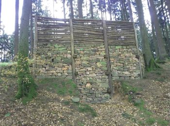
![Excursión A pie Bad Orb - Bad Orb Rundwanderweg 14 (Feuchtbiotop Eschenkar) - Photo](https://media.geolcdn.com/t/350/260/1eb446d9-e2a0-47a9-a5a3-e3cbc26b9091.jpeg&format=jpg&maxdim=2)
![A pie A pie](https://static1.geolcdn.com/sitytour/trail-icons/100.png)
Km
A pie
![](/images/other/stat-length.png)
![](https://static1.geolcdn.com/siteimages/upload/files/1508320355ic_sort_den_pos_24dp.png)
![](https://static1.geolcdn.com/siteimages/upload/files/1508320355ic_sort_den_neg_24dp.png)
![](https://static1.geolcdn.com/siteimages/upload/files/16400158638029165_repeat_loop_refresh_sync_direction_icon.png)
• Trail created by Stadt Bad Orb. Symbol: Blauer Text 14 auf weißem Grund
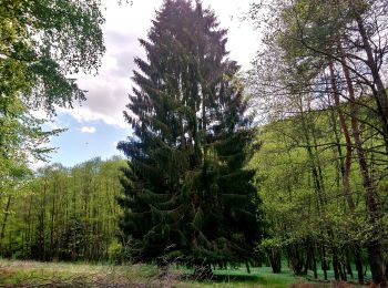
![Excursión A pie Bad Orb - Bad Orb Rundwanderweg 9 (Orbquelle) - Photo](https://media.geolcdn.com/t/350/260/6df9cf13-1277-4d69-998d-45c2938d5dec.jpeg&format=jpg&maxdim=2)
![A pie A pie](https://static1.geolcdn.com/sitytour/trail-icons/100.png)
Km
A pie
![](/images/other/stat-length.png)
![](https://static1.geolcdn.com/siteimages/upload/files/1508320355ic_sort_den_pos_24dp.png)
![](https://static1.geolcdn.com/siteimages/upload/files/1508320355ic_sort_den_neg_24dp.png)
![](https://static1.geolcdn.com/siteimages/upload/files/16400158638029165_repeat_loop_refresh_sync_direction_icon.png)
• Trail created by Stadt Bad Orb. Symbol: Blauer Text 9 auf weißem Grund
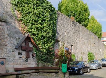
![Excursión A pie Bad Orb - Bad Orb Zubringerweg 25 (Friesenheiligen) - Photo](https://media.geolcdn.com/t/350/260/e6a4af8a-7a55-4917-b473-1bdffaac9e11.jpeg&format=jpg&maxdim=2)
![A pie A pie](https://static1.geolcdn.com/sitytour/trail-icons/100.png)
Km
A pie
![](/images/other/stat-length.png)
![](https://static1.geolcdn.com/siteimages/upload/files/1508320355ic_sort_den_pos_24dp.png)
![](https://static1.geolcdn.com/siteimages/upload/files/1508320355ic_sort_den_neg_24dp.png)
![](https://static1.geolcdn.com/siteimages/upload/files/16400158638029165_repeat_loop_refresh_sync_direction_icon.png)
• Symbol: Blauer Text 25 auf weißem Grund
![Excursión A pie Bad Orb - Bad Orb Zubringerweg 23 (Wegscheide) - Photo](https://media.geolcdn.com/t/350/260/e6a4af8a-7a55-4917-b473-1bdffaac9e11.jpeg&format=jpg&maxdim=2)
![A pie A pie](https://static1.geolcdn.com/sitytour/trail-icons/100.png)
Km
A pie
![](/images/other/stat-length.png)
![](https://static1.geolcdn.com/siteimages/upload/files/1508320355ic_sort_den_pos_24dp.png)
![](https://static1.geolcdn.com/siteimages/upload/files/1508320355ic_sort_den_neg_24dp.png)
![](https://static1.geolcdn.com/siteimages/upload/files/16400158638029165_repeat_loop_refresh_sync_direction_icon.png)
• Symbol: Blauer Text 23 auf weißem Grund
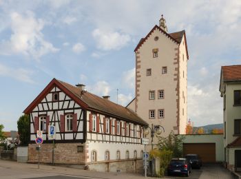
![Excursión A pie Bad Orb - Bad Orb Zubringerweg 22 (Haselruhe) - Photo](https://media.geolcdn.com/t/350/260/6ba307b1-ed8b-4b61-8309-97d6efa4cb44.jpeg&format=jpg&maxdim=2)
![A pie A pie](https://static1.geolcdn.com/sitytour/trail-icons/100.png)
Km
A pie
![](/images/other/stat-length.png)
![](https://static1.geolcdn.com/siteimages/upload/files/1508320355ic_sort_den_pos_24dp.png)
![](https://static1.geolcdn.com/siteimages/upload/files/1508320355ic_sort_den_neg_24dp.png)
![](https://static1.geolcdn.com/siteimages/upload/files/16400158638029165_repeat_loop_refresh_sync_direction_icon.png)
• Symbol: Blauer Text 22 auf weißem Grund
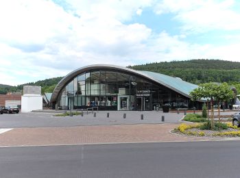
![Excursión A pie Bad Orb - Bad Orb Rundwanderweg 11 (Haberstalrunde) - Photo](https://media.geolcdn.com/t/350/260/d10fb4d5-e977-4e5e-b338-b487393a45a9.jpeg&format=jpg&maxdim=2)
![A pie A pie](https://static1.geolcdn.com/sitytour/trail-icons/100.png)
Km
A pie
![](/images/other/stat-length.png)
![](https://static1.geolcdn.com/siteimages/upload/files/1508320355ic_sort_den_pos_24dp.png)
![](https://static1.geolcdn.com/siteimages/upload/files/1508320355ic_sort_den_neg_24dp.png)
![](https://static1.geolcdn.com/siteimages/upload/files/16400158638029165_repeat_loop_refresh_sync_direction_icon.png)
• Trail created by Stadt Bad Orb. Symbol: Blauer Text 11 auf weißem Grund
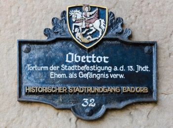
![Excursión A pie Bad Orb - Bad Orb Zubringerweg 24 (Wildpark) - Photo](https://media.geolcdn.com/t/350/260/434a4384-c1b9-4f5e-9bc4-b1ec3167462b.jpeg&format=jpg&maxdim=2)
![A pie A pie](https://static1.geolcdn.com/sitytour/trail-icons/100.png)
Km
A pie
![](/images/other/stat-length.png)
![](https://static1.geolcdn.com/siteimages/upload/files/1508320355ic_sort_den_pos_24dp.png)
![](https://static1.geolcdn.com/siteimages/upload/files/1508320355ic_sort_den_neg_24dp.png)
![](https://static1.geolcdn.com/siteimages/upload/files/16400158638029165_repeat_loop_refresh_sync_direction_icon.png)
• Symbol: Blauer Text 24 auf weißem Grund
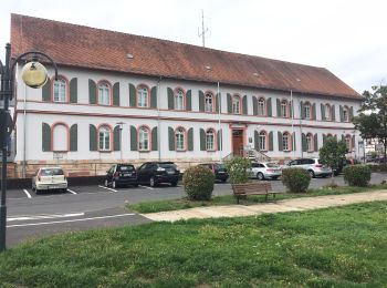
![Excursión A pie Bad Orb - Bad Orb Rundwanderweg 15 (Friedensweg) - Photo](https://media.geolcdn.com/t/350/260/01b178f3-29b8-4b05-83ee-c18c77477d42.jpeg&format=jpg&maxdim=2)
![A pie A pie](https://static1.geolcdn.com/sitytour/trail-icons/100.png)
Km
A pie
![](/images/other/stat-length.png)
![](https://static1.geolcdn.com/siteimages/upload/files/1508320355ic_sort_den_pos_24dp.png)
![](https://static1.geolcdn.com/siteimages/upload/files/1508320355ic_sort_den_neg_24dp.png)
![](https://static1.geolcdn.com/siteimages/upload/files/16400158638029165_repeat_loop_refresh_sync_direction_icon.png)
• Symbol: Blauer Text 15 auf weißem Grund
![Excursión A pie Bad Orb - Bad Orb Terainkurweg 33 (Zum Wildpark) - Photo](https://media.geolcdn.com/t/350/260/d10fb4d5-e977-4e5e-b338-b487393a45a9.jpeg&format=jpg&maxdim=2)
![A pie A pie](https://static1.geolcdn.com/sitytour/trail-icons/100.png)
Km
A pie
![](/images/other/stat-length.png)
![](https://static1.geolcdn.com/siteimages/upload/files/1508320355ic_sort_den_pos_24dp.png)
![](https://static1.geolcdn.com/siteimages/upload/files/1508320355ic_sort_den_neg_24dp.png)
![](https://static1.geolcdn.com/siteimages/upload/files/16400158638029165_repeat_loop_refresh_sync_direction_icon.png)
• Trail created by Stadt Bad Orb. Symbol: Blauer Text 33 auf weißem Grund
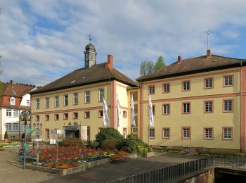
![Excursión A pie Bad Orb - Wanderwege Bad Orb Nr. 13 - Photo](https://media.geolcdn.com/t/350/260/8ce074be-7888-47b7-92e9-a4011fc98522.jpeg&format=jpg&maxdim=2)
![A pie A pie](https://static1.geolcdn.com/sitytour/trail-icons/100.png)
Km
A pie
![](/images/other/stat-length.png)
![](https://static1.geolcdn.com/siteimages/upload/files/1508320355ic_sort_den_pos_24dp.png)
![](https://static1.geolcdn.com/siteimages/upload/files/1508320355ic_sort_den_neg_24dp.png)
![](https://static1.geolcdn.com/siteimages/upload/files/16400158638029165_repeat_loop_refresh_sync_direction_icon.png)
• Trail created by Stadt Bad Orb. Symbol: Roter Text 13 auf weißem Grund
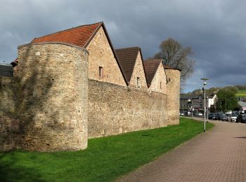
![Excursión A pie Bad Orb - Wanderwege Bad Orb Nr. 14 - Photo](https://media.geolcdn.com/t/350/260/f0e11c5b-a4fc-449a-8565-e28ee847371a.jpeg&format=jpg&maxdim=2)
![A pie A pie](https://static1.geolcdn.com/sitytour/trail-icons/100.png)
Km
A pie
![](/images/other/stat-length.png)
![](https://static1.geolcdn.com/siteimages/upload/files/1508320355ic_sort_den_pos_24dp.png)
![](https://static1.geolcdn.com/siteimages/upload/files/1508320355ic_sort_den_neg_24dp.png)
![](https://static1.geolcdn.com/siteimages/upload/files/16400158638029165_repeat_loop_refresh_sync_direction_icon.png)
• Trail created by Stadt Bad Orb. Symbol: Schwarzer Text 14 auf weißem Grund
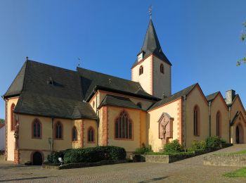
![Excursión A pie Bad Orb - Wanderwege Bad Orb Nr. 10 - Photo](https://media.geolcdn.com/t/350/260/03db269a-e194-44e9-8d8b-a83336abe3a3.jpeg&format=jpg&maxdim=2)
![A pie A pie](https://static1.geolcdn.com/sitytour/trail-icons/100.png)
Km
A pie
![](/images/other/stat-length.png)
![](https://static1.geolcdn.com/siteimages/upload/files/1508320355ic_sort_den_pos_24dp.png)
![](https://static1.geolcdn.com/siteimages/upload/files/1508320355ic_sort_den_neg_24dp.png)
![](https://static1.geolcdn.com/siteimages/upload/files/16400158638029165_repeat_loop_refresh_sync_direction_icon.png)
• Trail created by Stadt Bad Orb. Symbol: Schwarzer Text 10 auf weißem Grund
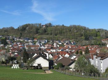
![Excursión A pie Bad Orb - Wanderwege Bad Orb Nr. 21 - Photo](https://media.geolcdn.com/t/350/260/d3b0064b-c5ea-4c60-945d-a0880b9d7f7e.jpeg&format=jpg&maxdim=2)
![A pie A pie](https://static1.geolcdn.com/sitytour/trail-icons/100.png)
Km
A pie
![](/images/other/stat-length.png)
![](https://static1.geolcdn.com/siteimages/upload/files/1508320355ic_sort_den_pos_24dp.png)
![](https://static1.geolcdn.com/siteimages/upload/files/1508320355ic_sort_den_neg_24dp.png)
![](https://static1.geolcdn.com/siteimages/upload/files/16400158638029165_repeat_loop_refresh_sync_direction_icon.png)
• Trail created by Stadt Bad Orb. Symbol: Grüner Text 21 auf weißem Grund
![Excursión A pie Bad Orb - Wanderwege Bad Orb Nr. 15 - Photo](https://media.geolcdn.com/t/350/260/434a4384-c1b9-4f5e-9bc4-b1ec3167462b.jpeg&format=jpg&maxdim=2)
![A pie A pie](https://static1.geolcdn.com/sitytour/trail-icons/100.png)
Km
A pie
![](/images/other/stat-length.png)
![](https://static1.geolcdn.com/siteimages/upload/files/1508320355ic_sort_den_pos_24dp.png)
![](https://static1.geolcdn.com/siteimages/upload/files/1508320355ic_sort_den_neg_24dp.png)
![](https://static1.geolcdn.com/siteimages/upload/files/16400158638029165_repeat_loop_refresh_sync_direction_icon.png)
• Trail created by Stadt Bad Orb. Symbol: Brauner Text 15 auf weißem Grund
![Excursión A pie Bad Orb - Naturlehrpfad Orbtal - Photo](https://media.geolcdn.com/t/350/260/d10fb4d5-e977-4e5e-b338-b487393a45a9.jpeg&format=jpg&maxdim=2)
![A pie A pie](https://static1.geolcdn.com/sitytour/trail-icons/100.png)
Km
A pie
![](/images/other/stat-length.png)
![](https://static1.geolcdn.com/siteimages/upload/files/1508320355ic_sort_den_pos_24dp.png)
![](https://static1.geolcdn.com/siteimages/upload/files/1508320355ic_sort_den_neg_24dp.png)
![](https://static1.geolcdn.com/siteimages/upload/files/16400158638029165_repeat_loop_refresh_sync_direction_icon.png)
• Symbol: Blauer Schmetterling auf weißem Grund
![Excursión A pie Bad Orb - Wanderwege Bad Orb Nr. 4 - Photo](https://media.geolcdn.com/t/350/260/d10fb4d5-e977-4e5e-b338-b487393a45a9.jpeg&format=jpg&maxdim=2)
![A pie A pie](https://static1.geolcdn.com/sitytour/trail-icons/100.png)
Km
A pie
![](/images/other/stat-length.png)
![](https://static1.geolcdn.com/siteimages/upload/files/1508320355ic_sort_den_pos_24dp.png)
![](https://static1.geolcdn.com/siteimages/upload/files/1508320355ic_sort_den_neg_24dp.png)
![](https://static1.geolcdn.com/siteimages/upload/files/16400158638029165_repeat_loop_refresh_sync_direction_icon.png)
• Trail created by Stadt Bad Orb. Symbol: Brauner Text 4 auf weißem Grund
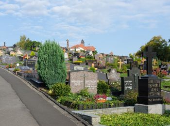
![Excursión A pie Bad Orb - Wanderwege Bad Orb Nr. 5 - Photo](https://media.geolcdn.com/t/350/260/415dcefe-07e6-4087-9ed1-5b22b26ea6fb.jpeg&format=jpg&maxdim=2)
![A pie A pie](https://static1.geolcdn.com/sitytour/trail-icons/100.png)
Km
A pie
![](/images/other/stat-length.png)
![](https://static1.geolcdn.com/siteimages/upload/files/1508320355ic_sort_den_pos_24dp.png)
![](https://static1.geolcdn.com/siteimages/upload/files/1508320355ic_sort_den_neg_24dp.png)
![](https://static1.geolcdn.com/siteimages/upload/files/16400158638029165_repeat_loop_refresh_sync_direction_icon.png)
• Trail created by Stadt Bad Orb. Symbol: Roter Text 5 auf weißem Grund
20 excursiones mostradas en 32
Aplicación GPS de excursión GRATIS