![](/images/other/stat-length.png)
- Excursiones
- Outdoor
- Germany
- Hesse
- Darmstadt
- Desconocido
Desconocido, Darmstadt: Los mejores itinerarios de excursión, recorridos, paseos y sendas
Desconocido: Descubra las mejores excursiones: 26 a pie. Todos estos circuitos, recorridos, itinerarios y actividades al aire libre están disponibles en nuestras aplicaciones SityTrail para smartphone y tablet.
Los mejores recorridos (26)
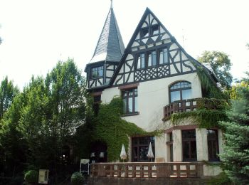
![Excursión A pie Desconocido - Rundwanderweg Darmstadt Steinbrücker Teich 3: Wildpark-Weg - Photo](https://media.geolcdn.com/t/350/260/1a8e8045-f536-4f30-af8a-f35942780baf.jpeg&format=jpg&maxdim=2)
![A pie A pie](https://static1.geolcdn.com/sitytour/trail-icons/100.png)
Km
A pie
![](/images/other/stat-length.png)
![](https://static1.geolcdn.com/siteimages/upload/files/1508320355ic_sort_den_pos_24dp.png)
![](https://static1.geolcdn.com/siteimages/upload/files/1508320355ic_sort_den_neg_24dp.png)
![](https://static1.geolcdn.com/siteimages/upload/files/16400158638029165_repeat_loop_refresh_sync_direction_icon.png)
• Trail created by Geo-Naturpark Bergstraße-Odenwald. Symbol: gelbe 3 in gelbem Kreis.
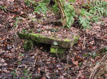
![Excursión A pie Desconocido - Rundwanderweg Darmstadt Am Forschungszentrum 9: Dianaburg-Weg - Photo](https://media.geolcdn.com/t/350/260/e7522232-749b-4e49-ab54-12744d65b4a1.jpeg&format=jpg&maxdim=2)
![A pie A pie](https://static1.geolcdn.com/sitytour/trail-icons/100.png)
Km
A pie
![](/images/other/stat-length.png)
![](https://static1.geolcdn.com/siteimages/upload/files/1508320355ic_sort_den_pos_24dp.png)
![](https://static1.geolcdn.com/siteimages/upload/files/1508320355ic_sort_den_neg_24dp.png)
![](https://static1.geolcdn.com/siteimages/upload/files/16400158638029165_repeat_loop_refresh_sync_direction_icon.png)
• Trail created by Geo-Naturpark Bergstraße-Odenwald. Symbol: gelbe 9 in gelbem Kreis.
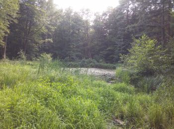
![Excursión A pie Desconocido - Rundwanderweg Darmstadt Messeler Falltorhaus 7: Stockschlag-Weg - Photo](https://media.geolcdn.com/t/350/260/57582a93-750b-40d6-9c97-3461c6313c89.jpeg&format=jpg&maxdim=2)
![A pie A pie](https://static1.geolcdn.com/sitytour/trail-icons/100.png)
Km
A pie
![](/images/other/stat-length.png)
![](https://static1.geolcdn.com/siteimages/upload/files/1508320355ic_sort_den_pos_24dp.png)
![](https://static1.geolcdn.com/siteimages/upload/files/1508320355ic_sort_den_neg_24dp.png)
![](https://static1.geolcdn.com/siteimages/upload/files/16400158638029165_repeat_loop_refresh_sync_direction_icon.png)
• Trail created by Geo-Naturpark Bergstraße-Odenwald. Symbol: gelbe 7 in gelbem Kreis.
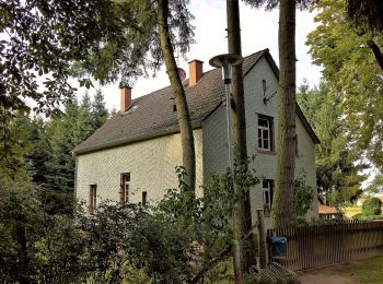
![Excursión A pie Desconocido - Rundwanderweg Darmstadt Messeler Falltorhaus 8: Mörsbacher-Grund-Weg - Photo](https://media.geolcdn.com/t/350/260/76e82085-a09b-4483-a590-fabe2dd14212.jpeg&format=jpg&maxdim=2)
![A pie A pie](https://static1.geolcdn.com/sitytour/trail-icons/100.png)
Km
A pie
![](/images/other/stat-length.png)
![](https://static1.geolcdn.com/siteimages/upload/files/1508320355ic_sort_den_pos_24dp.png)
![](https://static1.geolcdn.com/siteimages/upload/files/1508320355ic_sort_den_neg_24dp.png)
![](https://static1.geolcdn.com/siteimages/upload/files/16400158638029165_repeat_loop_refresh_sync_direction_icon.png)
• Trail created by Geo-Naturpark Bergstraße-Odenwald. Symbol: gelbe 8 in gelbem Kreis.
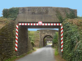
![Excursión A pie Desconocido - Weiterstädter Rundwanderwege WRW - Photo](https://media.geolcdn.com/t/350/260/74c83b76-3f1a-4870-ba4d-624750463607.jpeg&format=jpg&maxdim=2)
![A pie A pie](https://static1.geolcdn.com/sitytour/trail-icons/100.png)
Km
A pie
![](/images/other/stat-length.png)
![](https://static1.geolcdn.com/siteimages/upload/files/1508320355ic_sort_den_pos_24dp.png)
![](https://static1.geolcdn.com/siteimages/upload/files/1508320355ic_sort_den_neg_24dp.png)
![](https://static1.geolcdn.com/siteimages/upload/files/16400158638029165_repeat_loop_refresh_sync_direction_icon.png)
• Trail created by Stadt Weiterstadt.
![Excursión A pie Desconocido - Weiterstädter Rundwanderwege - Stadtteilrunde Riedbahn - Photo](https://media.geolcdn.com/t/350/260/74c83b76-3f1a-4870-ba4d-624750463607.jpeg&format=jpg&maxdim=2)
![A pie A pie](https://static1.geolcdn.com/sitytour/trail-icons/100.png)
Km
A pie
![](/images/other/stat-length.png)
![](https://static1.geolcdn.com/siteimages/upload/files/1508320355ic_sort_den_pos_24dp.png)
![](https://static1.geolcdn.com/siteimages/upload/files/1508320355ic_sort_den_neg_24dp.png)
![](https://static1.geolcdn.com/siteimages/upload/files/16400158638029165_repeat_loop_refresh_sync_direction_icon.png)
• Trail created by Stadt Weiterstadt.
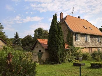
![Excursión A pie Desconocido - Rundwanderweg Darmstadt Jagdschl. Kranichstein 5: Dianaburg-Weg - Photo](https://media.geolcdn.com/t/350/260/fa24b1c5-f5f1-409a-a4a2-17576f6d5dfa.jpeg&format=jpg&maxdim=2)
![A pie A pie](https://static1.geolcdn.com/sitytour/trail-icons/100.png)
Km
A pie
![](/images/other/stat-length.png)
![](https://static1.geolcdn.com/siteimages/upload/files/1508320355ic_sort_den_pos_24dp.png)
![](https://static1.geolcdn.com/siteimages/upload/files/1508320355ic_sort_den_neg_24dp.png)
![](https://static1.geolcdn.com/siteimages/upload/files/16400158638029165_repeat_loop_refresh_sync_direction_icon.png)
• Trail created by Geo-Naturpark Bergstraße-Odenwald. Symbol: gelbe 5 in gelbem Kreis.
![Excursión A pie Desconocido - Rundwanderweg Darmstadt Jagdschl. Kranichstein 6: Falkenhof-Weg - Photo](https://media.geolcdn.com/t/350/260/8e7ef7dc-a73a-4ee0-8455-50c6924322d1.jpeg&format=jpg&maxdim=2)
![A pie A pie](https://static1.geolcdn.com/sitytour/trail-icons/100.png)
Km
A pie
![](/images/other/stat-length.png)
![](https://static1.geolcdn.com/siteimages/upload/files/1508320355ic_sort_den_pos_24dp.png)
![](https://static1.geolcdn.com/siteimages/upload/files/1508320355ic_sort_den_neg_24dp.png)
![](https://static1.geolcdn.com/siteimages/upload/files/16400158638029165_repeat_loop_refresh_sync_direction_icon.png)
• Trail created by Geo-Naturpark Bergstraße-Odenwald. Symbol: gelbe 6 in gelbem Kreis.
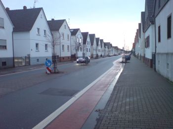
![Excursión A pie Desconocido - Rundwanderweg Erzhausen - Photo](https://media.geolcdn.com/t/350/260/0d3571f9-ed3d-4b4e-9855-eba80a245c87.jpeg&format=jpg&maxdim=2)
![A pie A pie](https://static1.geolcdn.com/sitytour/trail-icons/100.png)
Km
A pie
![](/images/other/stat-length.png)
![](https://static1.geolcdn.com/siteimages/upload/files/1508320355ic_sort_den_pos_24dp.png)
![](https://static1.geolcdn.com/siteimages/upload/files/1508320355ic_sort_den_neg_24dp.png)
![](https://static1.geolcdn.com/siteimages/upload/files/16400158638029165_repeat_loop_refresh_sync_direction_icon.png)
• Initiative des Ortskundlichen Arbeitskreises Erzhausen in Zusammenarbeit mit dem Obst- und Gartenbauverein, den Natur...
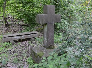
![Excursión A pie Desconocido - Rundwanderweg Darmstadt 3 - Photo](https://media.geolcdn.com/t/350/260/dd3e7ec2-9c4e-43ca-9b63-5cc0f90e5365.jpeg&format=jpg&maxdim=2)
![A pie A pie](https://static1.geolcdn.com/sitytour/trail-icons/100.png)
Km
A pie
![](/images/other/stat-length.png)
![](https://static1.geolcdn.com/siteimages/upload/files/1508320355ic_sort_den_pos_24dp.png)
![](https://static1.geolcdn.com/siteimages/upload/files/1508320355ic_sort_den_neg_24dp.png)
![](https://static1.geolcdn.com/siteimages/upload/files/16400158638029165_repeat_loop_refresh_sync_direction_icon.png)
• Trail created by Geo-Naturpark Bergstraße-Odenwald. Symbol: white 3 in a white circle with Da in a break at the top ...
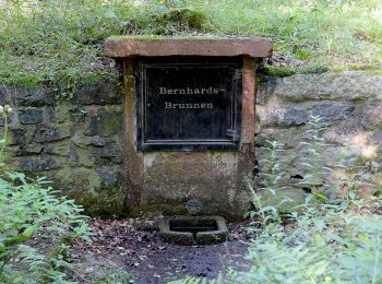
![Excursión A pie Desconocido - Rundwanderweg Darmstadt Steinbrücker Teich 2: Sulmenseekopf-Weg - Photo](https://media.geolcdn.com/t/350/260/70fdfdd5-d2c9-4223-8007-fe335e2fe797.jpeg&format=jpg&maxdim=2)
![A pie A pie](https://static1.geolcdn.com/sitytour/trail-icons/100.png)
Km
A pie
![](/images/other/stat-length.png)
![](https://static1.geolcdn.com/siteimages/upload/files/1508320355ic_sort_den_pos_24dp.png)
![](https://static1.geolcdn.com/siteimages/upload/files/1508320355ic_sort_den_neg_24dp.png)
![](https://static1.geolcdn.com/siteimages/upload/files/16400158638029165_repeat_loop_refresh_sync_direction_icon.png)
• Trail created by Geo-Naturpark Bergstraße-Odenwald. Symbol: gelbe 2 in gelbem Kreis.
![Excursión A pie Desconocido - Rundwanderweg Darmstadt Steinbrücker Teich 1: Kahler Berg-Weg - Photo](https://media.geolcdn.com/t/350/260/70fdfdd5-d2c9-4223-8007-fe335e2fe797.jpeg&format=jpg&maxdim=2)
![A pie A pie](https://static1.geolcdn.com/sitytour/trail-icons/100.png)
Km
A pie
![](/images/other/stat-length.png)
![](https://static1.geolcdn.com/siteimages/upload/files/1508320355ic_sort_den_pos_24dp.png)
![](https://static1.geolcdn.com/siteimages/upload/files/1508320355ic_sort_den_neg_24dp.png)
![](https://static1.geolcdn.com/siteimages/upload/files/16400158638029165_repeat_loop_refresh_sync_direction_icon.png)
• Trail created by Geo-Naturpark Bergstraße-Odenwald. Symbol: gelbe 1 in gelbem Kreis.
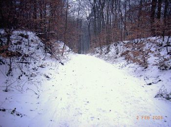
![Excursión A pie Desconocido - Rundwanderweg Darmstadt 2 : - Photo](https://media.geolcdn.com/t/350/260/cc8096db-584b-4fac-abc7-1ab2f3157b0f.jpeg&format=jpg&maxdim=2)
![A pie A pie](https://static1.geolcdn.com/sitytour/trail-icons/100.png)
Km
A pie
![](/images/other/stat-length.png)
![](https://static1.geolcdn.com/siteimages/upload/files/1508320355ic_sort_den_pos_24dp.png)
![](https://static1.geolcdn.com/siteimages/upload/files/1508320355ic_sort_den_neg_24dp.png)
![](https://static1.geolcdn.com/siteimages/upload/files/16400158638029165_repeat_loop_refresh_sync_direction_icon.png)
• Trail created by Geo-Naturpark Bergstraße-Odenwald. Symbol: white 2 in a white circle with DA in a break at the top ...
![Excursión A pie Desconocido - Rundwanderweg Darmstadt 4: Scheftheimer-Wiesen-Weg - Photo](https://media.geolcdn.com/t/350/260/dd3e7ec2-9c4e-43ca-9b63-5cc0f90e5365.jpeg&format=jpg&maxdim=2)
![A pie A pie](https://static1.geolcdn.com/sitytour/trail-icons/100.png)
Km
A pie
![](/images/other/stat-length.png)
![](https://static1.geolcdn.com/siteimages/upload/files/1508320355ic_sort_den_pos_24dp.png)
![](https://static1.geolcdn.com/siteimages/upload/files/1508320355ic_sort_den_neg_24dp.png)
![](https://static1.geolcdn.com/siteimages/upload/files/16400158638029165_repeat_loop_refresh_sync_direction_icon.png)
• Trail created by Geo-Naturpark Bergstraße-Odenwald. Symbol: white 4 in a white circle with DA in a break at the top ...
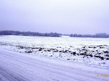
![Excursión A pie Desconocido - Rundwanderweg Darmstadt 5: Oberfeld-Weg - Photo](https://media.geolcdn.com/t/350/260/7eda190b-feca-4599-a52c-3721d19efdba.jpeg&format=jpg&maxdim=2)
![A pie A pie](https://static1.geolcdn.com/sitytour/trail-icons/100.png)
Km
A pie
![](/images/other/stat-length.png)
![](https://static1.geolcdn.com/siteimages/upload/files/1508320355ic_sort_den_pos_24dp.png)
![](https://static1.geolcdn.com/siteimages/upload/files/1508320355ic_sort_den_neg_24dp.png)
![](https://static1.geolcdn.com/siteimages/upload/files/16400158638029165_repeat_loop_refresh_sync_direction_icon.png)
• Trail created by Geo-Naturpark Bergstraße-Odenwald. Symbol: white 5 in a white circle with DA in a break at the top ...
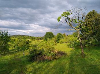
![Excursión A pie Desconocido - Ortsrundwanderweg Eberstadt 2 - Photo](https://media.geolcdn.com/t/350/260/88fbc8fe-8c48-4ac8-8ec9-f05d0450b96b.jpeg&format=jpg&maxdim=2)
![A pie A pie](https://static1.geolcdn.com/sitytour/trail-icons/100.png)
Km
A pie
![](/images/other/stat-length.png)
![](https://static1.geolcdn.com/siteimages/upload/files/1508320355ic_sort_den_pos_24dp.png)
![](https://static1.geolcdn.com/siteimages/upload/files/1508320355ic_sort_den_neg_24dp.png)
![](https://static1.geolcdn.com/siteimages/upload/files/16400158638029165_repeat_loop_refresh_sync_direction_icon.png)
• Trail created by Geo-Naturpark Bergstraße-Odenwald. Symbol: white 2 in a white circle with Eb in a break at the top ...
![Excursión A pie Desconocido - Rundwanderweg Darmstadt 1: Ludwigshöhen-Weg - Photo](https://media.geolcdn.com/t/350/260/88fbc8fe-8c48-4ac8-8ec9-f05d0450b96b.jpeg&format=jpg&maxdim=2)
![A pie A pie](https://static1.geolcdn.com/sitytour/trail-icons/100.png)
Km
A pie
![](/images/other/stat-length.png)
![](https://static1.geolcdn.com/siteimages/upload/files/1508320355ic_sort_den_pos_24dp.png)
![](https://static1.geolcdn.com/siteimages/upload/files/1508320355ic_sort_den_neg_24dp.png)
![](https://static1.geolcdn.com/siteimages/upload/files/16400158638029165_repeat_loop_refresh_sync_direction_icon.png)
• Trail created by Geo-Naturpark Bergstraße-Odenwald. Symbol: white 1 in a white circle with DA in a break at the top ...
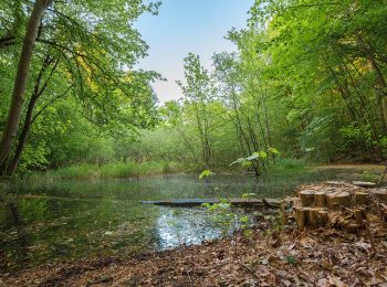
![Excursión A pie Desconocido - Rundwanderweg Darmstadt Moosberg 3: Moosberg - Weg - Photo](https://media.geolcdn.com/t/350/260/16fcec5b-7895-485b-a073-916f5b4c4a93.jpeg&format=jpg&maxdim=2)
![A pie A pie](https://static1.geolcdn.com/sitytour/trail-icons/100.png)
Km
A pie
![](/images/other/stat-length.png)
![](https://static1.geolcdn.com/siteimages/upload/files/1508320355ic_sort_den_pos_24dp.png)
![](https://static1.geolcdn.com/siteimages/upload/files/1508320355ic_sort_den_neg_24dp.png)
![](https://static1.geolcdn.com/siteimages/upload/files/16400158638029165_repeat_loop_refresh_sync_direction_icon.png)
• Trail created by Geo-Naturpark Bergstraße-Odenwald. Symbol: yellow 3 in a yellow circle
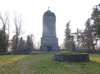
![Excursión A pie Desconocido - Rundwanderweg Darmstadt Ludwigshöhe 1: Herrgottsberg - Weg - Photo](https://media.geolcdn.com/t/350/260/ce757b55-2266-4762-872b-1a2f641a1e8c.jpeg&format=jpg&maxdim=2)
![A pie A pie](https://static1.geolcdn.com/sitytour/trail-icons/100.png)
Km
A pie
![](/images/other/stat-length.png)
![](https://static1.geolcdn.com/siteimages/upload/files/1508320355ic_sort_den_pos_24dp.png)
![](https://static1.geolcdn.com/siteimages/upload/files/1508320355ic_sort_den_neg_24dp.png)
![](https://static1.geolcdn.com/siteimages/upload/files/16400158638029165_repeat_loop_refresh_sync_direction_icon.png)
• Trail created by Geo-Naturpark Bergstraße-Odenwald. Symbol: yellow 1 in a yellow circle
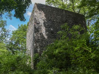
![Excursión A pie Desconocido - Rundwanderweg Darmstadt Sommergrund 3: Frankensteinweg - Photo](https://media.geolcdn.com/t/350/260/2580a601-588c-4b52-a60c-147f5919cb5b.jpeg&format=jpg&maxdim=2)
![A pie A pie](https://static1.geolcdn.com/sitytour/trail-icons/100.png)
Km
A pie
![](/images/other/stat-length.png)
![](https://static1.geolcdn.com/siteimages/upload/files/1508320355ic_sort_den_pos_24dp.png)
![](https://static1.geolcdn.com/siteimages/upload/files/1508320355ic_sort_den_neg_24dp.png)
![](https://static1.geolcdn.com/siteimages/upload/files/16400158638029165_repeat_loop_refresh_sync_direction_icon.png)
• Trail created by Geo-Naturpark Bergstraße-Odenwald. Symbol: yellow 3 in a yellow circle
20 excursiones mostradas en 26
Aplicación GPS de excursión GRATIS