


5,1 km | 6,4 km-effort
Oestrich-Winkel: Descubra las mejores excursiones: 6 a pie. Todos estos circuitos, recorridos, itinerarios y actividades al aire libre están disponibles en nuestras aplicaciones SityTrail para smartphone y tablet.
A pie


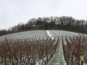
• Symbol: Weißes Schild, oben in schwarz stilisierte Mühle mit diagonal verlaufender, blauer und grüner Linie (Bach) da...
A pie
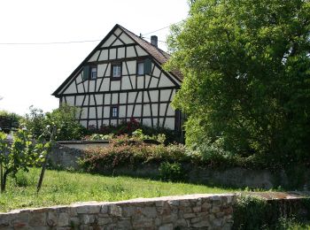
• Trail created by Romantischer Rhein Tourismus GmbH. Symbol: Stilisiertes weißes R auf gelbem Grund
A pie
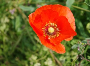
• Trail created by Verkehrsamt Oestrich-Winkel. Symbol: Wandernde Weinflasche (Weinflöte) mit Bündel auf rundem, braun...
A pie
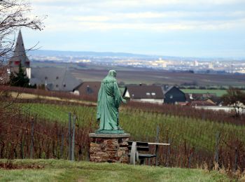
• Trail created by Verkehrsamt Oestrich-Winkel. Symbol: Wandernde Weinflasche (Weinflöte) mit Bündel auf rundem, orang...
![Excursión A pie Oestrich-Winkel - Rheinsteig [Johannisberg - Kiedrich] - Photo](https://media.geolcdn.com/t/350/260/ext.jpg?maxdim=2&url=https%3A%2F%2Fstatic1.geolcdn.com%2Fsiteimages%2Fupload%2Ffiles%2F1545311037marcheuse_200dpi.jpg)
A pie
A pie
6 excursiones mostradas en 6
 SityTrail