
- Excursiones
- Outdoor
- Germany
- Turingia
- Landkreis Weimarer Land
Landkreis Weimarer Land, Turingia: Los mejores itinerarios de excursión, recorridos, paseos y sendas
Landkreis Weimarer Land: Descubra las mejores excursiones: 27 a pie. Todos estos circuitos, recorridos, itinerarios y actividades al aire libre están disponibles en nuestras aplicaciones SityTrail para smartphone y tablet.
Los mejores recorridos (27)
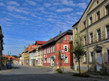
Km
A pie


• Trail created by Kranichfeld. Symbol: Weiße 1 auf schwarzem Hintergrund, drüber ein schwarzer Kranich auf weißem Gru...
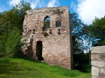
Km
A pie


• Trail created by Kranichfeld. Symbol: Schwarze 2 auf gelbgrünem Hintergrund, drüber ein schwarzer Kranich auf weißem...

Km
A pie


• Trail created by Kranichfeld. Symbol: Weiße 5 auf dunkelgrünem Hintergrund, drüber ein schwarzer Kranich auf weißem ...
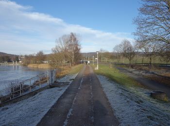
Km
A pie


• Trail created by Kranichfeld. Symbol: Schwarze 4 auf rosa Hintergrund, drüber ein schwarzer Kranich auf weißem Grund.
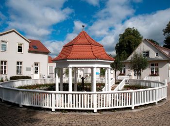
Km
A pie


• Trail created by Bad Berka. Symbol: schwarze 3 auf mittig senkrecht geteiltem, links blauen, rechts gelben Kreis

Km
A pie


• Trail created by Bad Berka. Symbol: schwarze 1 auf mittig senkrecht geteiltem, links baluen, rechts gelben Kreis

Km
A pie


• Trail created by Bad Berka. Symbol: schwarze 2 auf mittig senkrecht geteiltem, links blauen, rechts gelben Kreis
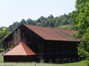
Km
A pie


• Trail created by Touristinformation Bad Sulza. created by Johanna Müller
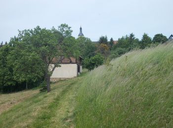
Km
A pie


• unmarkiert
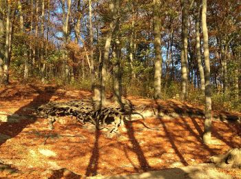
Km
A pie


• Trail created by Bad Berka. Symbol: schwarze 7 auf mittig senkrecht geteiltem, links blauen, rechts gelben Kreis

Km
A pie


• Symbol: schwarze 6 auf mittig senkrecht geteiltem, links blauen, rechts gelben Kreis
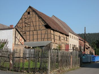
Km
A pie


• Wanderweg Grüner Balken Raum Tannroda
Km
A pie


• Symbol: Grüner Strich auf weißem Grund

Km
A pie


• Symbol: Gelber Querbalken auf weißem Grund

Km
A pie


• Symbol: Grüner Querbalken auf weißem Grund
Km
A pie


Km
A pie


Km
A pie


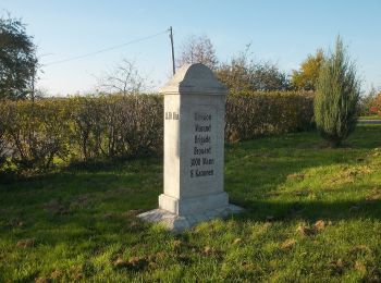
Km
A pie


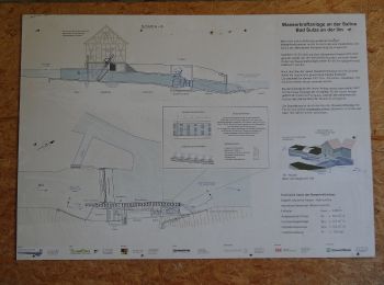
Km
A pie


20 excursiones mostradas en 27
Aplicación GPS de excursión GRATIS


 SityTrail


