


14,8 km | 19,4 km-effort
Meschede: Descubra las mejores excursiones: 42 a pie. Todos estos circuitos, recorridos, itinerarios y actividades al aire libre están disponibles en nuestras aplicaciones SityTrail para smartphone y tablet.
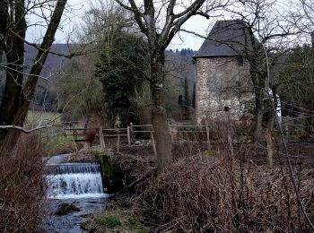
A pie


• Trail created by Sauerländischer Gebirgsverein.
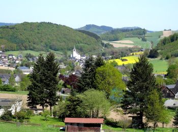
A pie
• Trail created by Sauerländischer Gebirgsverein.
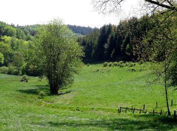
A pie
• Trail created by Sauerländischer Gebirgsverein.
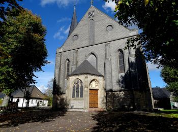
A pie
• Trail created by Sauerländischer Gebirgsverein.
A pie
• Trail created by Sauerländischer Gebirgsverein.
A pie
• Trail created by Sauerländischer Gebirgsverein.
A pie
• Trail created by Sauerländischer Gebirgsverein (SGV). Symbol: weißes H auf schwarzem Grund
A pie
• Trail created by Sauerländischer Gebirgsverein.
A pie
• Trail created by Sauerländischer Gebirgsverein.
A pie
• Trail created by Sauerländischer Gebirgsverein.

A pie
• Trail created by Sauerländischer Gebirgsverein.
A pie
• Trail created by Sauerländischer Gebirgsverein (SGV). Wegzeichen ohne Kreis drum herum (auch wenn es im NRW Atlas an...
A pie
• Trail created by Sauerländischer Gebirgsverein.
A pie
• Trail created by Sauerländischer Gebirgsverein.
A pie
• Trail created by Sauerländischer Gebirgsverein.
A pie
• Trail created by Sauerländischer Gebirgsverein.
A pie
• Trail created by Sauerländischer Gebirgsverein.
A pie
• Trail created by Sauerländischer Gebirgsverein.
A pie
• Trail created by Sauerländischer Gebirgsverein.
A pie
• Trail created by Sauerländischer Gebirgsverein.
20 excursiones mostradas en 42
Aplicación GPS de excursión GRATIS
 SityTrail
IGN / Institutos geográficos
SityTrail World
El mundo es suyo