


10,3 km | 11,3 km-effort
Norderstedt: Descubra las mejores excursiones: 5 a pie. Todos estos circuitos, recorridos, itinerarios y actividades al aire libre están disponibles en nuestras aplicaciones SityTrail para smartphone y tablet.
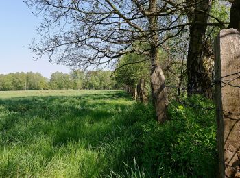
A pie


• Trail created by AktivRegion Alsterland.
A pie
• Trail created by AktivRegion Alsterland.
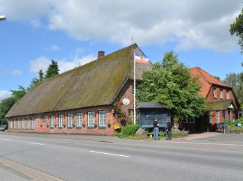
A pie
• Trail created by Wanderverband Norddeutschland e.V.. Symbol: gelber Pfeil

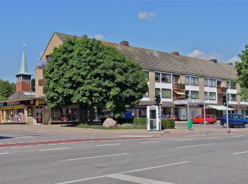
A pie
• Trail created by Wanderverband Norddeutschland;Hamburger Wanderverein. Symbol: gelber Pfeil auf weißem Grund

A pie
• Trail created by Wanderverband Norddeutschland; Hamburger Wanderverein. Symbol: gelber Pfeil auf weißem Grund
5 excursiones mostradas en 5
Aplicación GPS de excursión GRATIS
 SityTrail
IGN / Institutos geográficos
SityTrail World
El mundo es suyo