


8,2 km | 10,7 km-effort
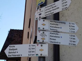
Bad Peterstal-Griesbach: Descubra las mejores excursiones: 15 a pie. Todos estos circuitos, recorridos, itinerarios y actividades al aire libre están disponibles en nuestras aplicaciones SityTrail para smartphone y tablet.
A pie


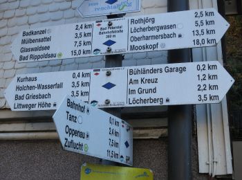
• Trail created by Schwarzwaldverein. Symbol: yellow diamond on white
A pie
• Symbol: Symbol Schwarzwald-Genießerpfade auf weißem Grund mit Schriftzug Himmelssteig
A pie
• Trail created by Schwarzwaldverein. Symbol: gelbe Raute auf weißem Grunde
A pie
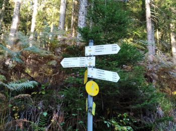
• Trail created by Schwarzwaldverein. Symbol: Blaue Raute auf weißem Grund
A pie
• Symbol: Bollenhut auf blauem Rechteck
A pie
• Trail created by Schwarzwaldverein. Symbol: Blaue Raute auf weißem Grund
A pie
• Symbol: Blaues W auf weiß/grüner Raute
A pie
• Trail created by Schwarzwaldverein. Symbol: Blaue Raute auf weißem Grund
Senderismo

Senderismo
Senderismo
Senderismo
Senderismo
Senderismo
Senderismo
15 excursiones mostradas en 15
Aplicación GPS de excursión GRATIS
 SityTrail
IGN / Institutos geográficos
SityTrail World
El mundo es suyo