


4,4 km | 5,2 km-effort
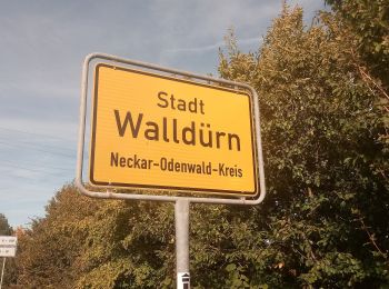
Walldürn: Descubra las mejores excursiones: 5 a pie. Todos estos circuitos, recorridos, itinerarios y actividades al aire libre están disponibles en nuestras aplicaciones SityTrail para smartphone y tablet.
A pie


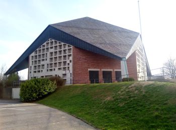
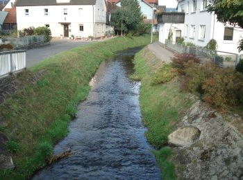
• Trail created by Biotopschutzbund Walldürn e. V..
A pie
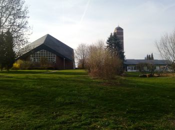
• Trail created by Biotopschutzbund Walldürn e. V..
A pie
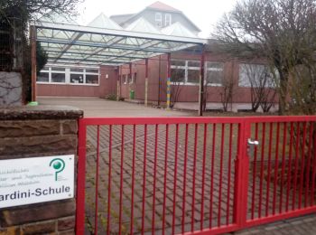
• Trail created by Odenwaldklub. Symbol: Weiße 6 in einem oben offenen Kreis, darüber weißes W
A pie
• Trail created by Odenwaldklub. Symbol: Weiße 3 in einem oben offenen Kreis, darüber weißes Ha
A pie
• Trail created by Odenwaldklub. Symbol: Weiße 3 in einem oben offenen Kreis, darüber weißes S
5 excursiones mostradas en 5
Aplicación GPS de excursión GRATIS
 SityTrail
IGN / Institutos geográficos
SityTrail World
El mundo es suyo