
- Excursiones
- Outdoor
- Germany
- Baden-Wurtemberg
- Landkreis Tübingen
Landkreis Tübingen, Baden-Wurtemberg: Los mejores itinerarios de excursión, recorridos, paseos y sendas
Landkreis Tübingen: Descubra las mejores excursiones: 27 a pie. Todos estos circuitos, recorridos, itinerarios y actividades al aire libre están disponibles en nuestras aplicaciones SityTrail para smartphone y tablet.
Los mejores recorridos (27)
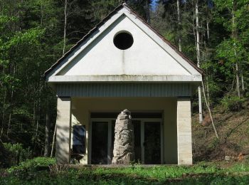
Km
A pie


• Trail created by Stadt Rottenburg. Symbol: roter Apfel
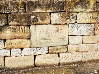
Km
A pie


• Trail created by Stadt Rottenburg. Symbol: roterr Apfel
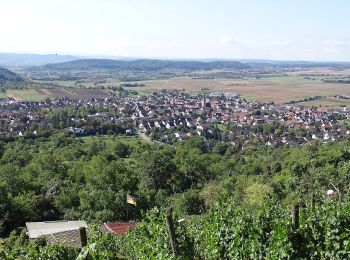
Km
A pie


• Trail created by Gemeinde Ammerbuch. Symbol: Roter Apfel Sitio web: http://fruechtetrauf.tuebinger-umwelten.de
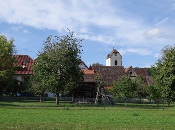
Km
A pie


• Trail created by Gemeinde Ammerbuch. Symbol: Roter Apfel Sitio web: http://fruechtetrauf.tuebinger-umwelten.de
Km
A pie


• Trail created by Schwaebischer Albverein - Ortsgruppe Mössingen. Symbol: Blue Pointer on white background
Km
A pie


• Trail created by Schwaebischer Albverein - Ortsgruppe Mössingen. Symbol: Blue Pointer on white background
Km
A pie


• Trail created by Schwäbischer Alb Verein. Symbol: blue cross on white background
Km
A pie


• Trail created by Schwäbischer Alb Verein. Symbol: red cross on white background

Km
A pie


• Trail created by Schwäbischer Alb Verein. Symbol: red cross on white background
Km
A pie


• Trail created by Schwäbischer Alb Verein. Symbol: red cross on white background
Km
A pie


• Trail created by Schwäbischer Alb Verein. Symbol: blue cross on white background
Km
A pie


• Trail created by Schwäbischer Alb Verein. Symbol: red cross on white background
Km
A pie


• Trail created by Schwäbischer Alb Verein. Symbol: Blauer Balken auf weißem Grund
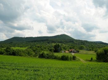
Km
A pie


• Trail created by Stadt Mössingen.
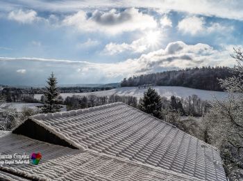
Km
A pie


• Trail created by Schwäbischer Albverein. SAV Blauer Balken, Bebenhausen - Oberaichen Symbol: Blauer Strich auf weiß...
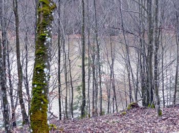
Km
A pie


• Symbol: Rote Schnecke auf weißem Grund
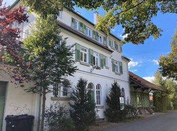
Km
A pie


• Trail created by Schwäbischer Albverein, Ortsgruppe Unterjesingen. Symbol: Gelbe "2" auf weißem Grund
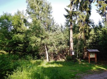
Km
A pie


• Trail created by Schwäbischer Albverein. SAV Blauer Strich Symbol: Blauer Strich auf weißem Grund
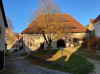
Km
A pie


• Trail created by Schwäbischer Albverein, Ortsgruppe Unterjesingen. Symbol: Grüne "4" auf weißem Grund
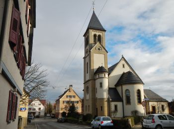
Km
A pie


• Trail created by Naturpark Schönbuch. Symbol: Wegweiser mit Wegenummer 2 in Kreis und Name des Weges
20 excursiones mostradas en 27
Aplicación GPS de excursión GRATIS


 SityTrail


