


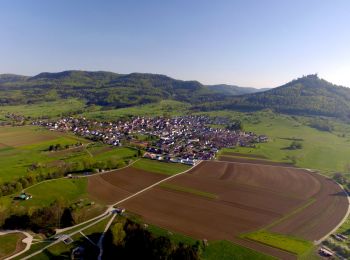
7 km | 8,7 km-effort
Hechingen: Descubra las mejores excursiones: 5 a pie. Todos estos circuitos, recorridos, itinerarios y actividades al aire libre están disponibles en nuestras aplicaciones SityTrail para smartphone y tablet.

A pie


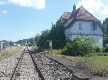
• Trail created by Schwaebischer Albverein - Ortsgruppe Bodelshausen. Symbol: Blue bar on white background
A pie
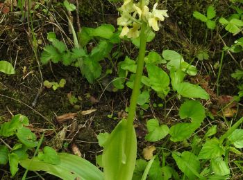
• Trail created by Schwäbischer Albverein - Ortsgruppe Schlatt. Symbol: Blue pointer on white background
A pie
• Trail created by Schwäbischer Alb Verein. Symbol: Blaues Kreuz auf weißem Grund
A pie
• Trail created by Schwaebischer Albverein - Ortsgruppe Bodelshausen. Symbol: Blue pointer on white background
A pie
• Trail created by Schwäbischer Albverein - Ortsgruppe Schlatt. Symbol: Blue pointer on white background
5 excursiones mostradas en 5
Aplicación GPS de excursión GRATIS
 SityTrail
IGN / Institutos geográficos
SityTrail World
El mundo es suyo