


3 km | 3,9 km-effort
Bad Teinach-Zavelstein: Descubra las mejores excursiones: 4 a pie. Todos estos circuitos, recorridos, itinerarios y actividades al aire libre están disponibles en nuestras aplicaciones SityTrail para smartphone y tablet.
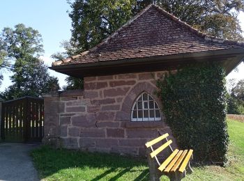
A pie


• Trail created by Schwarzwaldverein. Symbol: Gelbe Raute auf weißem Grund
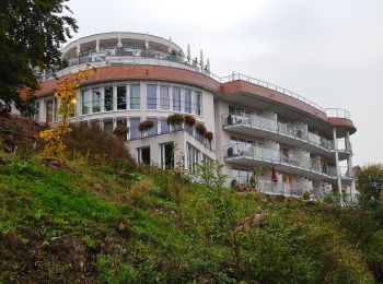
A pie
• Symbol: Symbol Schwarzwald-Genießerpfade auf weißem Grund mit Schriftzug Der Teinacher
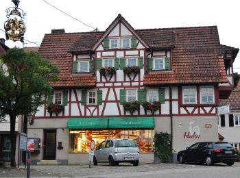
A pie
• Sitio web: https://www.teinachtal.de/de/aktiv/wandern/spazierwanderungen/krokusweg/
A pie
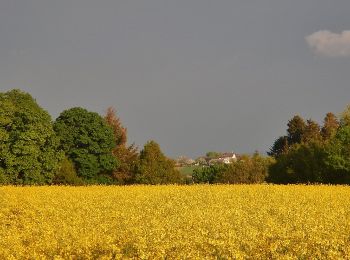
• Trail created by Schwarzwaldverein. Symbol: Gelbe Raute auf weißem Grund
4 excursiones mostradas en 4
Aplicación GPS de excursión GRATIS
 SityTrail
IGN / Institutos geográficos
SityTrail World
El mundo es suyo