


14,8 km | 23 km-effort
Bad Herrenalb: Descubra las mejores excursiones: 7 a pie. Todos estos circuitos, recorridos, itinerarios y actividades al aire libre están disponibles en nuestras aplicaciones SityTrail para smartphone y tablet.
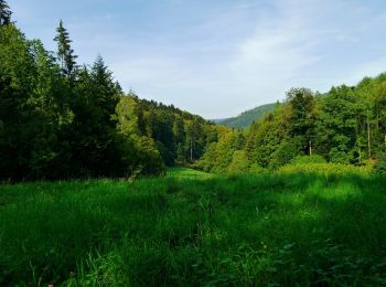
A pie


• Symbol: Wechselnde Symbole (blaue Raute, gelbe Raute)
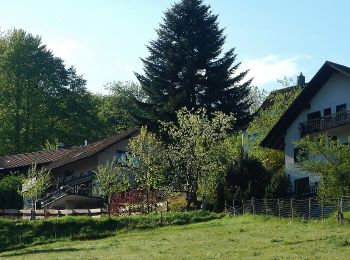
A pie
• Symbol: Libelle
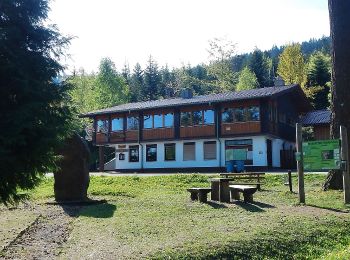
A pie

A pie
• Trail created by AlbtalPlus.
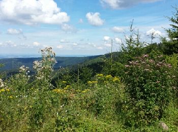
Senderismo
Otra actividad
Senderismo

Otra actividad

Senderismo
9 excursiones mostradas en 9
Aplicación GPS de excursión GRATIS
 SityTrail
IGN / Institutos geográficos
SityTrail World
El mundo es suyo