


13,2 km | 15,5 km-effort
Distrito de Starnberg: Descubra las mejores excursiones: 10 a pie. Todos estos circuitos, recorridos, itinerarios y actividades al aire libre están disponibles en nuestras aplicaciones SityTrail para smartphone y tablet.
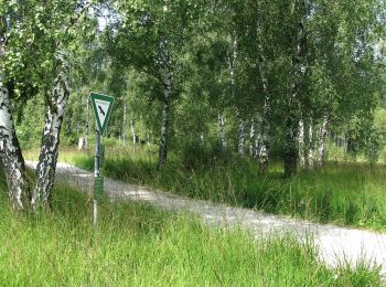
A pie


• Trail created by Zeitreise Gilching e.V..
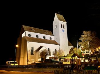
A pie
• Trail created by Zeitreise Gilching e.V.. Sitio web: https://www.zeitreise-gilching.de/geschichte-erleben/in-gilch...
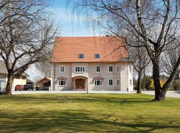
A pie
• Trail created by Gesellschaft für Archäologie und Ortsgeschichte Gilchings. Symbol: bajuwarischer Löwe, roter Pfeil

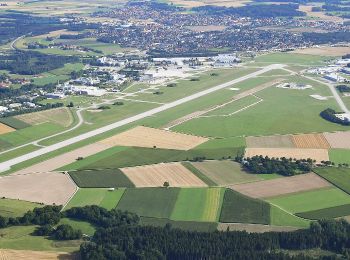
A pie

A pie
A pie

A pie
• Trail created by Rotary Club Wörthsee.
A pie
A pie
A pie
10 excursiones mostradas en 10
Aplicación GPS de excursión GRATIS
 SityTrail
IGN / Institutos geográficos
SityTrail World
El mundo es suyo