![](/images/other/stat-length.png)
- Excursiones
- Outdoor
- Germany
- Baviera
- Schweinfurt
Schweinfurt, Baviera: Los mejores itinerarios de excursión, recorridos, paseos y sendas
Schweinfurt: Descubra las mejores excursiones: 4 a pie. Todos estos circuitos, recorridos, itinerarios y actividades al aire libre están disponibles en nuestras aplicaciones SityTrail para smartphone y tablet.
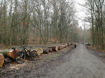
Los mejores recorridos (4)
![Excursión A pie - Rundwanderweg - Photo](https://media.geolcdn.com/t/350/260/093e42a3-3253-4db2-ad85-96d7e8c2f823.jpeg&format=jpg&maxdim=2)
![A pie A pie](https://static1.geolcdn.com/sitytour/trail-icons/100.png)
Km
A pie
![](/images/other/stat-length.png)
![](https://static1.geolcdn.com/siteimages/upload/files/1508320355ic_sort_den_pos_24dp.png)
![](https://static1.geolcdn.com/siteimages/upload/files/1508320355ic_sort_den_neg_24dp.png)
![](https://static1.geolcdn.com/siteimages/upload/files/16400158638029165_repeat_loop_refresh_sync_direction_icon.png)
• Trail created by Naturfreunde Ortsgruppe Schweinfurt. Symbol: Grüner Punkt in weißem Pfeil
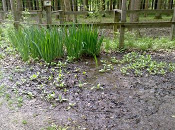
![Excursión A pie - AV Grün Route 1 - Photo](https://media.geolcdn.com/t/350/260/f611c85d-1da6-4e48-aca0-6a4b0663fd57.jpeg&format=jpg&maxdim=2)
![A pie A pie](https://static1.geolcdn.com/sitytour/trail-icons/100.png)
Km
A pie
![](/images/other/stat-length.png)
![](https://static1.geolcdn.com/siteimages/upload/files/1508320355ic_sort_den_pos_24dp.png)
![](https://static1.geolcdn.com/siteimages/upload/files/1508320355ic_sort_den_neg_24dp.png)
![](https://static1.geolcdn.com/siteimages/upload/files/16400158638029165_repeat_loop_refresh_sync_direction_icon.png)
• Trail created by DAV Sektion Schweinfurt. Symbol: AV Grün auf Weiß
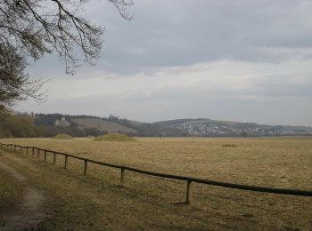
![Excursión A pie - AV Rot Route 2 - Photo](https://media.geolcdn.com/t/350/260/093e42a3-3253-4db2-ad85-96d7e8c2f823.jpeg&format=jpg&maxdim=2)
![A pie A pie](https://static1.geolcdn.com/sitytour/trail-icons/100.png)
Km
A pie
![](/images/other/stat-length.png)
![](https://static1.geolcdn.com/siteimages/upload/files/1508320355ic_sort_den_pos_24dp.png)
![](https://static1.geolcdn.com/siteimages/upload/files/1508320355ic_sort_den_neg_24dp.png)
![](https://static1.geolcdn.com/siteimages/upload/files/16400158638029165_repeat_loop_refresh_sync_direction_icon.png)
• Trail created by DAV Sektion Schweinfurt. Symbol: AV Rot auf Weiß
![Excursión A pie - Fluß und Fleiß - Photo](https://media.geolcdn.com/t/350/260/5f1d6ece-2151-40bd-8771-a0496d3ca9a5.jpeg&format=jpg&maxdim=2)
![A pie A pie](https://static1.geolcdn.com/sitytour/trail-icons/100.png)
Km
A pie
![](/images/other/stat-length.png)
![](https://static1.geolcdn.com/siteimages/upload/files/1508320355ic_sort_den_pos_24dp.png)
![](https://static1.geolcdn.com/siteimages/upload/files/1508320355ic_sort_den_neg_24dp.png)
![](https://static1.geolcdn.com/siteimages/upload/files/16400158638029165_repeat_loop_refresh_sync_direction_icon.png)
• Trail created by Kulturamt der Stadt Schweinfurt. Die doppelten members sind beabsichtigt und korrekt.
4 excursiones mostradas en 4
Aplicación GPS de excursión GRATIS