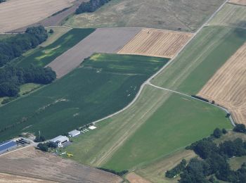
![](/images/other/stat-length.png)
- Excursiones
- Outdoor
- Germany
- Baviera
- Landkreis Lichtenfels
- Neuensorger Forst
Neuensorger Forst, Landkreis Lichtenfels: Los mejores itinerarios de excursión, recorridos, paseos y sendas
Neuensorger Forst: Descubra las mejores excursiones: 2 a pie. Todos estos circuitos, recorridos, itinerarios y actividades al aire libre están disponibles en nuestras aplicaciones SityTrail para smartphone y tablet.
Los mejores recorridos (2)
![Excursión A pie Neuensorger Forst - Lichtenfelser Nordweg - Photo](https://media.geolcdn.com/t/350/260/c015f656-e7a1-440f-b65a-2f3a4db322af.jpeg&format=jpg&maxdim=2)
![A pie A pie](https://static1.geolcdn.com/sitytour/trail-icons/100.png)
Km
A pie
![](/images/other/stat-length.png)
![](https://static1.geolcdn.com/siteimages/upload/files/1508320355ic_sort_den_pos_24dp.png)
![](https://static1.geolcdn.com/siteimages/upload/files/1508320355ic_sort_den_neg_24dp.png)
![](https://static1.geolcdn.com/siteimages/upload/files/16400158638029165_repeat_loop_refresh_sync_direction_icon.png)
• Trail created by Landkreis Lichtenfels. Symbol: Blauer Punkt auf weißem Hintergrund
![Excursión A pie Neuensorger Forst - Aßlitzweg (Michelau) - Photo](https://media.geolcdn.com/t/350/260/55fca7ad-ef27-45e3-b458-d4ff0e279cff.jpeg&format=jpg&maxdim=2)
![A pie A pie](https://static1.geolcdn.com/sitytour/trail-icons/100.png)
Km
A pie
![](/images/other/stat-length.png)
![](https://static1.geolcdn.com/siteimages/upload/files/1508320355ic_sort_den_pos_24dp.png)
![](https://static1.geolcdn.com/siteimages/upload/files/1508320355ic_sort_den_neg_24dp.png)
![](https://static1.geolcdn.com/siteimages/upload/files/16400158638029165_repeat_loop_refresh_sync_direction_icon.png)
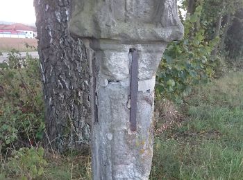
• Trail created by Landkreis Lichtenfels. Symbol: Schwarze 1 zwischen zwei Punkten auf gelbem Hintergrund
2 excursiones mostradas en 2
Aplicación GPS de excursión GRATIS