
Thurnau, Landkreis Kulmbach: Los mejores itinerarios de excursión, recorridos, paseos y sendas
Thurnau: Descubra las mejores excursiones: 8 a pie. Todos estos circuitos, recorridos, itinerarios y actividades al aire libre están disponibles en nuestras aplicaciones SityTrail para smartphone y tablet.
Los mejores recorridos (8)
Km
A pie


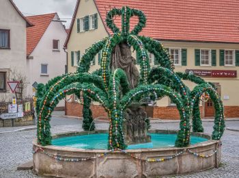
• Trail created by Markt Thurnau. Symbol: Blauer Ring auf weißem Hintergrund
Km
A pie


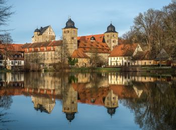
• Trail created by Markt Thurnau. Symbol: Stilisierter schwarzer Krug in schwarzem Kreis auf weißem Hintergrund
Km
A pie


• Trail created by Gemeinde Tannfeld. Symbol: Waldwiesel auf weißem Hintergrund

Km
A pie


• Trail created by Gemeinde Thurnau. Symbol: Schwarzer Ring auf weißem Hintergrund

Km
A pie


• Trail created by Markt Thurnau. Symbol: Rotes V auf weißem Hintergrund
Km
A pie


• Symbol: Kuckuck + Rundweg 6
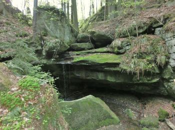
Km
A pie


• Trail created by Fichtelgebirgsverein Kulmbach. Symbol: grüner Ring auf weißem Grund

Km
A pie


• Trail created by Frankenwaldverein. Symbol: Blaue 64 auf weißem Hintegrund
8 excursiones mostradas en 8
Aplicación GPS de excursión GRATIS


 SityTrail


